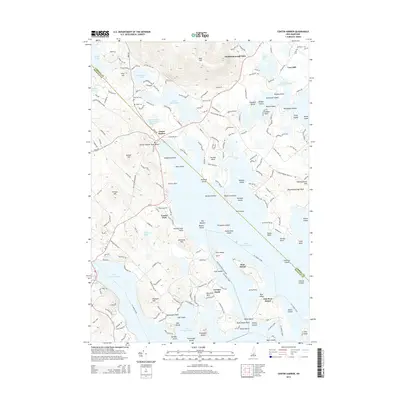
2015 Map of Center Harbor
USGS Topo · Published 2015About this map
Lake Winnipesaukee dominates this landscape, its northern reaches defined by an intricate network of islands and points such as Stonedam Island and Meredith Neck. The village of Center Harbor serves as a focal point at the water's edge, where the Center Harbor Town Beach meets the lake. To the north, the terrain rises toward Red Hill, providing a dramatic contrast to the low-lying shoreline of Squam Lake and Wakondah Pond.
Find a feature on this map
79 named features on this map. Tap any name to fly to it.
Don’t see what you’re looking for? This feature index may not catch every label — zoom into the map to look around manually.
Map Details
Editions of this 2015 Center Harbor Map
This is the sole edition of this map. No revisions or reprints were ever made.
Other maps of this area
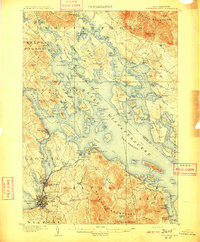
1909 · Winnepesaukee
USGS Topo · 1:62,500
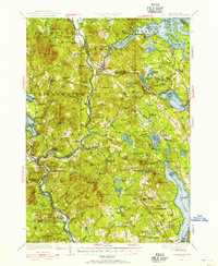
1925 · Holderness
USGS Topo · 1:62,500
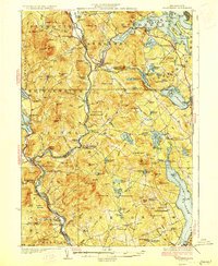
1927 · Holderness
USGS Topo · 1:62,500
1928 · Plymouth
USGS Topo · 1:62,500
1931 · Plymouth
USGS Topo · 1:62,500
1931 · Mt. Chocorua
USGS Topo · 1:62,500
1949 · Portland
USGS Topo · 1:250,000
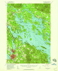
1956 · Winnipesaukee
USGS Topo · 1:62,500
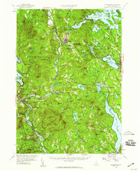
1956 · Holderness
USGS Topo · 1:62,500
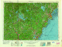
1956 · Portland
USGS Topo · 1:250,000