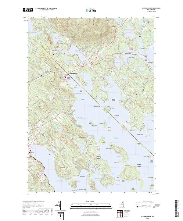
2024 Map of Center Harbor
USGS Topo · Published 2024About this map
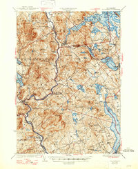
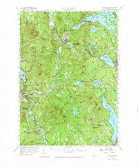
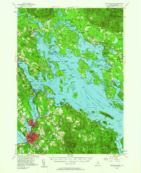
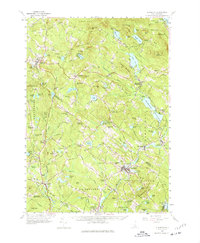
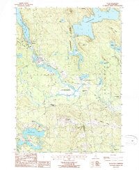
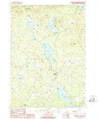
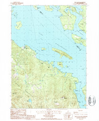
Lake Winnipesaukee dominates the southeastern quadrant of this survey, where intricate shorelines and numerous islands like Bear Island and Beaver Island define the local geography. The topography rises sharply from the lake to Red Hill and Pinnacle Hill, creating a landscape where water and elevation dictate the path of infrastructure. The settlement of Center Harbor serves as a central hub, with public spaces such as Center Harbor Memorial Park and Center Harbor Town Beach providing access to the waterfront.
Find a feature on this map
242 named features on this map. Tap any name to fly to it.
Don’t see what you’re looking for? This feature index may not catch every label — zoom into the map to look around manually.
Map Details
Editions of this 2024 Center Harbor Map
This is the sole edition of this map. No revisions or reprints were ever made.
Historical Maps of East Bear Island Through Time
26 maps found
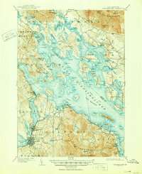
1909 Winnipesaukee
Belknap County, NH
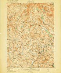
1919 Gilmanton
Belknap County, NH

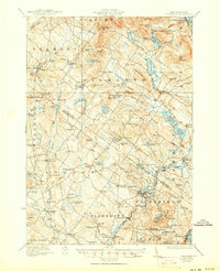
1925 Holderness
Belknap County, NH
1927 Gilmanton
Belknap County, NH
1927 Holderness
Belknap County, NH
1956 Holderness
Belknap County, NH
1956 Winnipesaukee
Belknap County, NH
1957 Gilmanton
Belknap County, NH
1987 Alton
Belknap County, NH

1987 Belmont
Belknap County, NH

1987 Bristol
Belknap County, NH

1987 Center Harbor
Belknap County, NH
1987 Gilmanton Ironworks
Belknap County, NH

1987 Holderness
Belknap County, NH
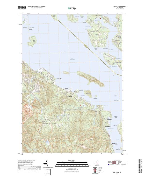
1987 West Alton
Belknap County, NH

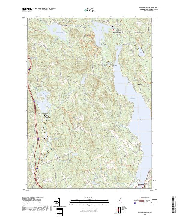
1987 Winnisquam Lake
Belknap County, NH

1998 Center Harbor
Belknap County, NH

2000 Bristol
Belknap County, NH
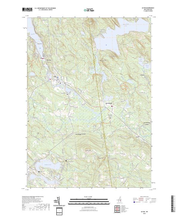
2024 Alton
Belknap County, NH
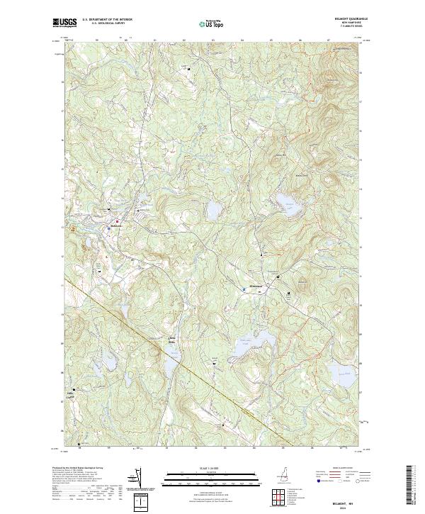
2024 Belmont
Belknap County, NH
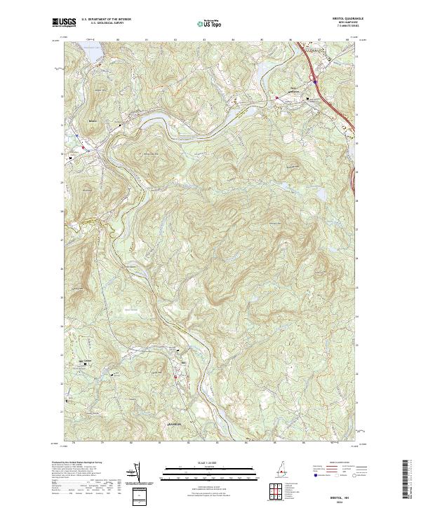
2024 Bristol
Belknap County, NH
2024 Center Harbor
Belknap County, NH
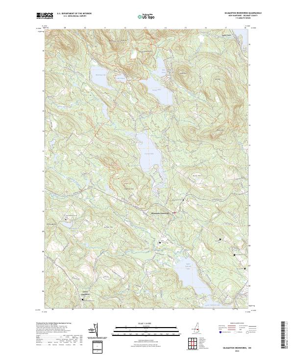
2024 Gilmanton Ironworks
Belknap County, NH
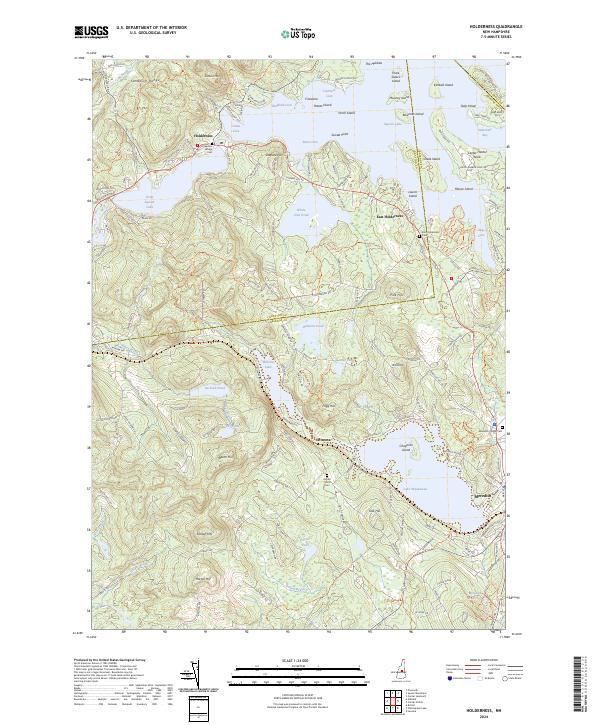
2024 Holderness
Belknap County, NH
2024 West Alton
Belknap County, NH
2024 Winnisquam Lake
Belknap County, NH