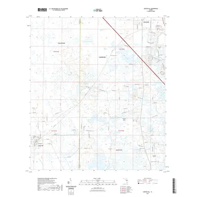
2021 Map of Center Hill
USGS Topo · Published 2021About this map
Center Hill and the surrounding basin of the Palatlakaha River are defined by a complex mosaic of freshwater wetlands and hammocks. This 2021 survey illustrates the transition from the town sites of Okahumpka and Mascotte into the marshy interior of the Hampton Prairie. The landscape is dotted with small, named water bodies including Wise Hammock Pond, Baptising Pond, and Crowder Holes, reflecting the unique limestone-driven hydrology of central Florida.
Find a feature on this map
84 named features on this map. Tap any name to fly to it.
Don’t see what you’re looking for? This feature index may not catch every label — zoom into the map to look around manually.
Map Details
Editions of this 2021 Center Hill Map
This is the sole edition of this map. No revisions or reprints were ever made.
Other maps of this area

1893 · Panasoffkee
USGS Topo · 1:62,500

1895 · Panasoffkee
USGS Topo · 1:62,500

1955 · Plant City
USGS Topo · 1:250,000

1955 · Orlando
USGS Topo · 1:250,000

1957 · Orlando
USGS Topo · 1:250,000

1958 · Orlando
USGS Topo · 1:250,000

1958 · Plant City
USGS Topo · 1:250,000

1958 · Webster
USGS Topo · 1:24,000

1958 · Bushnell
USGS Topo · 1:24,000

1959 · Plant City
USGS Topo · 1:250,000