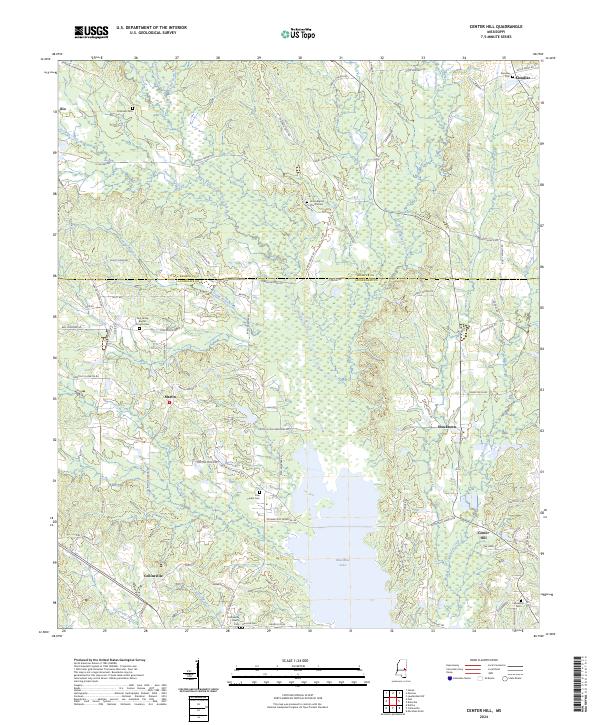
2024 Map of Center Hill
USGS Topo · Published 2024About this map
Okatibbee Lake serves as a dominant central landmark in this 2024 landscape on the border of Kemper and Lauderdale Counties. The surrounding terrain is defined by a dense network of tributaries including Okatibbee Creek, Tallachula Creek, and House Creek, which drain the wooded hillsides where family names are etched into the local geography through numerous small settlements and burial grounds. Genealogists can find significant landmarks such as the Chisholm Cem near Klondike, or the Union Baptist Church Cem situated along Frazier Grove Rd. The map illustrates a modern rural infrastructure where established communities like Collinsville and Martin are connected by a web of local routes like Pruitt-Hand Rd and Williamson Rd. This detailed study provides a contemporary view of the region's spiritual and social anchors, including the Pine Grove Baptist Church Cem and the Collinsville Church, preserving the location of local heritage sites in a rapidly changing environment.
Find a feature on this map
96 named features on this map. Tap any name to fly to it.
Don’t see what you’re looking for? This feature index may not catch every label — zoom into the map to look around manually.
Map Details
Editions of this 2024 Center Hill Map
This is the sole edition of this map. No revisions or reprints were ever made.
Other maps of this area

1921 · Meridian
USGS Topo · 1:48,000

1923 · Meridian
USGS Topo · 1:62,500

1953 · Meridian
USGS Topo · 1:250,000

1957 · Meridian
USGS Topo · 1:250,000

1957 · Chunky
USGS Topo · 1:62,500

1962 · House
USGS Topo · 1:24,000

1962 · Daleville
USGS Topo · 1:24,000

1962 · Lauderdale NW
USGS Topo · 1:24,000

1962 · Center Hill
USGS Topo · 1:24,000

1962 · Post
USGS Topo · 1:24,000