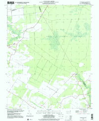
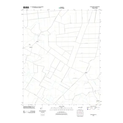
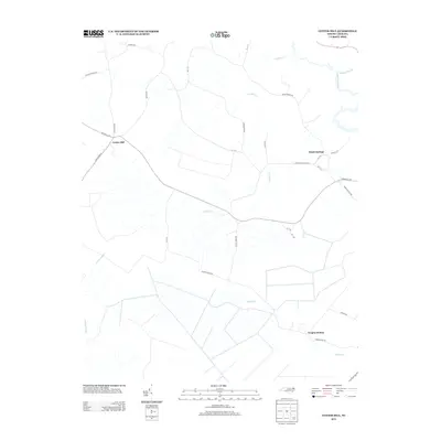
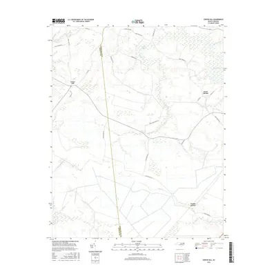
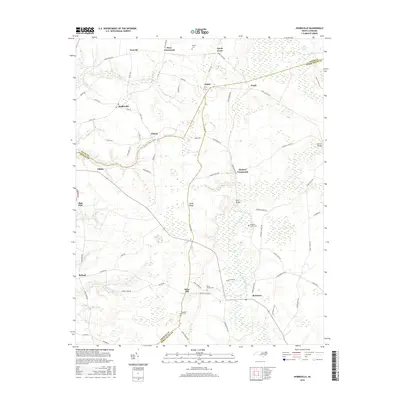
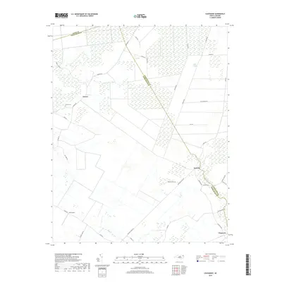
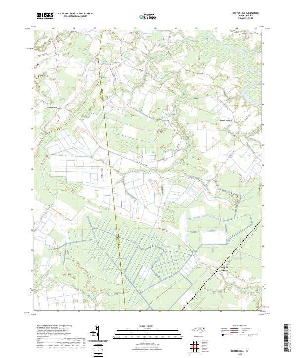
1982 Map of Center Hill
USGS Topo · Published 1982About this map
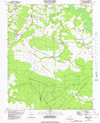
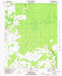
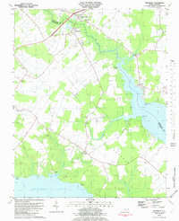
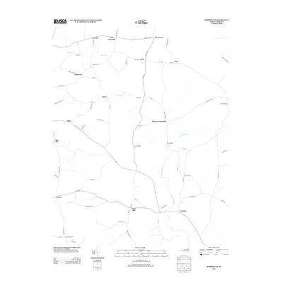
Bear Swamp dominates the southern landscape of this coastal plain region, where the Chowan Co Perquimans Co boundary line bisects dense wetlands and agricultural clearings. The 1982 survey reveals a community anchored by a high density of rural houses of worship, including Hunters Fork Ch, Great Hope Ch, and Saunders Grove Ch. These cultural landmarks are distributed along a network of improved roads and an Old Railroad Grade that speaks to the area's timber and transit history.
Find a feature on this map
23 named features on this map. Tap any name to fly to it.
Don’t see what you’re looking for? This feature index may not catch every label — zoom into the map to look around manually.
Map Details
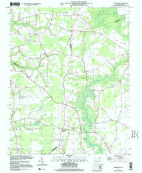
Editions of this 1982 Center Hill Map
This is the sole edition of this map. No revisions or reprints were ever made.
Historical Maps of Center Hill Through Time
46 maps found
1982 Center Hill
Perquimans County, NC
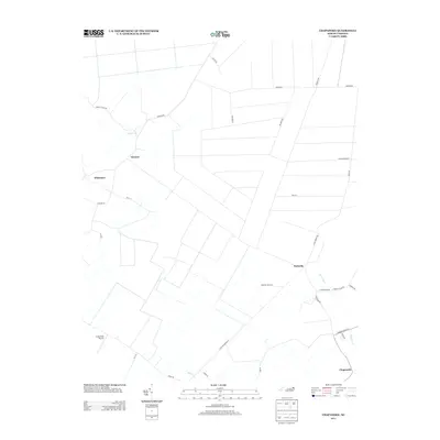
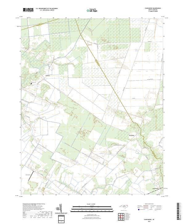
1982 Chapanoke
Perquimans County, NC
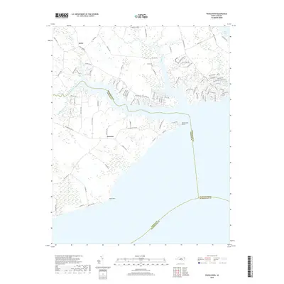
1982 Harvey
Perquimans County, NC
1982 Hobbsville
Perquimans County, NC
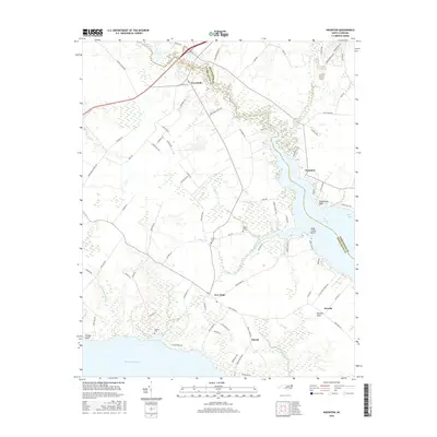
1982 Nixonton
Perquimans County, NC
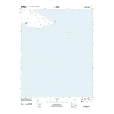
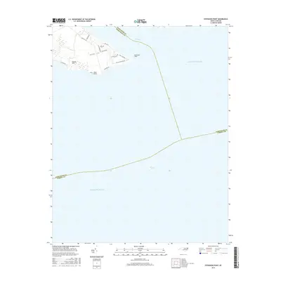
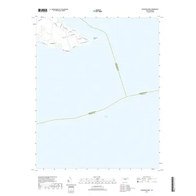
1982 Stevenson Point
Perquimans County, NC
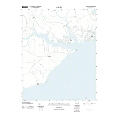
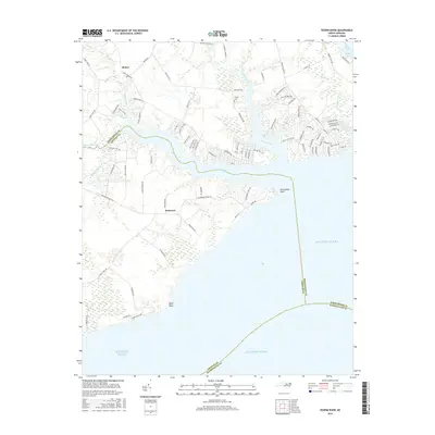
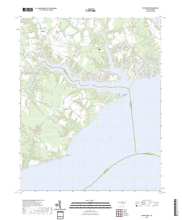
1982 Yeopim River
Perquimans County, NC
1997 Center Hill
Perquimans County, NC
1997 Chapanoke
Perquimans County, NC
1997 Hobbsville
Perquimans County, NC
1997 Stevenson Point
Perquimans County, NC
2010 Center Hill
Perquimans County, NC
2010 Chapanoke
Perquimans County, NC
2010 Harvey Neck
Perquimans County, NC
2010 Hobbsville
Perquimans County, NC
2010 Nixonton
Perquimans County, NC
2010 Stevenson Point
Perquimans County, NC
2010 Yeopim River
Perquimans County, NC
2013 Center Hill
Perquimans County, NC
2013 Chapanoke
Perquimans County, NC
2013 Harvey Neck
Perquimans County, NC
2013 Hobbsville
Perquimans County, NC
2013 Nixonton
Perquimans County, NC
2013 Stevenson Point
Perquimans County, NC
2013 Yeopim River
Perquimans County, NC
2016 Center Hill
Perquimans County, NC
2016 Chapanoke
Perquimans County, NC
2016 Harvey Neck
Perquimans County, NC
2016 Hobbsville
Perquimans County, NC
2016 Nixonton
Perquimans County, NC
2016 Stevenson Point
Perquimans County, NC
2016 Yeopim River
Perquimans County, NC

2019 Center Hill
Perquimans County, NC
2019 Chapanoke
Perquimans County, NC
2019 Harvey Neck
Perquimans County, NC
2019 Hobbsville
Perquimans County, NC
2019 Nixonton
Perquimans County, NC
2019 Stevenson Point
Perquimans County, NC
2019 Yeopim River
Perquimans County, NC
2022 Center Hill
Perquimans County, NC
2022 Chapanoke
Perquimans County, NC
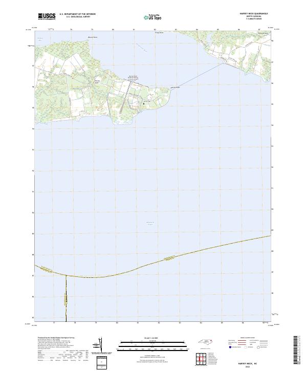
2022 Harvey Neck
Perquimans County, NC
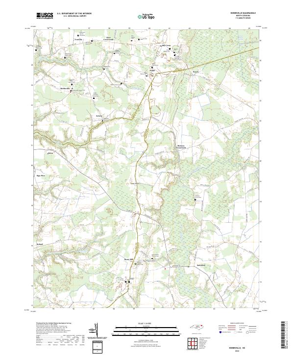
2022 Hobbsville
Perquimans County, NC
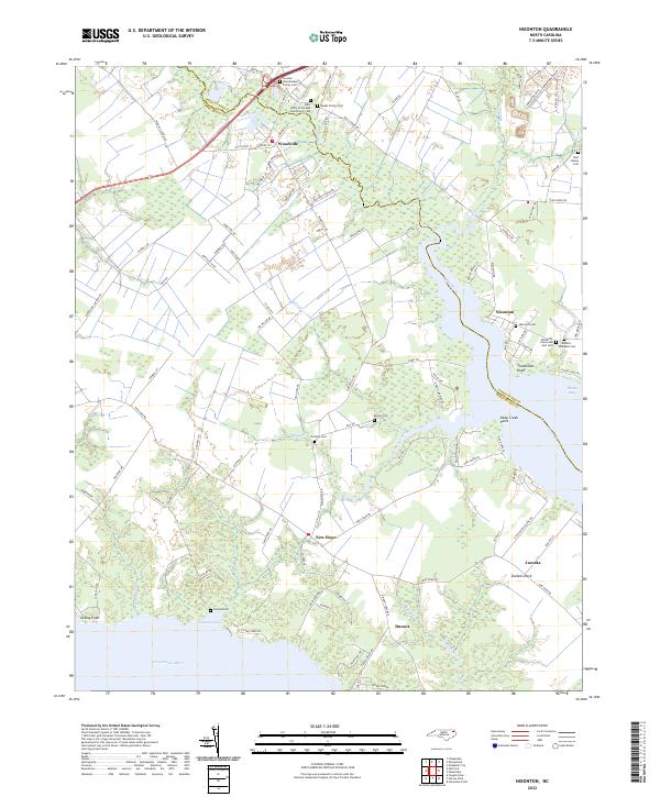
2022 Nixonton
Perquimans County, NC
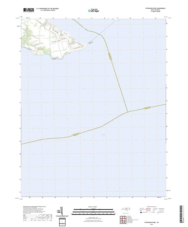
2022 Stevenson Point
Perquimans County, NC
2022 Yeopim River
Perquimans County, NC