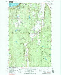
1953 Map of Center
USGS Topo · Published 1976About this map
Port Discovery provides a northern anchor for this mid-century topographic study, where the waters of the sound meet the rugged interior of the Olympic Peninsula. The C M St P & P railroad line cuts through the landscape, connecting Discovery Junction and Fairmont near the coastline before trending inland towards Eaglemount. This corridor highlights a period when rail and the Olympic Highway were primary arteries for the timber and agricultural communities of Jefferson County.
Find a feature on this map
27 named features on this map. Tap any name to fly to it.
Don’t see what you’re looking for? This feature index may not catch every label — zoom into the map to look around manually.
Map Details
Editions of this 1953 Center Map
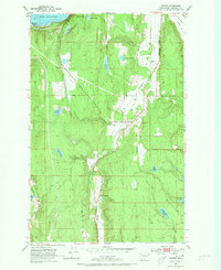
Other maps of this area

1937 · Port Gamble
USGS Topo · 1:62,500

1939 · Port Townsend
USGS Topo · 1:62,500

1939 · Coupeville
USGS Topo · 1:62,500

1940 · Port Gamble
USGS Topo · 1:62,500

1940 · Quilcene
USGS Topo · 1:62,500

1953 · Quilcene
USGS Topo · 1:24,000

1953 · Mt. Walker
USGS Topo · 1:24,000

1953 · Nordland
USGS Topo · 1:24,000
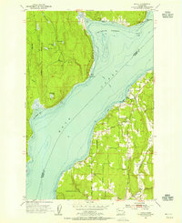
1953 · Lofall
USGS Topo · 1:24,000

1953 · Center
USGS Topo · 1:24,000