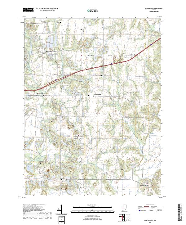
2022 Map of Center Point
USGS Topo · Published 2022About this map
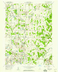
Center Point sits at the heart of this Clay County landscape, where the rural character is defined by a dense network of family and community cemeteries. From Walker Cem and Miller Cem in the north to Gremes Cem and Killion Cem further south, these sites provide a vital record for genealogists. The terrain is shaped by the drainage patterns of Birch Cr and its tributaries, while the eastern edge is dominated by the winding course of the Eel River.
Find a feature on this map
63 named features on this map. Tap any name to fly to it.
Don’t see what you’re looking for? This feature index may not catch every label — zoom into the map to look around manually.
Map Details
Editions of this 2022 Center Point Map
This is the sole edition of this map. No revisions or reprints were ever made.
Other maps of this area
1908 · Clay City
USGS Topo · 1:48,000
1910 · Clay City
USGS Topo · 1:62,500
1950 · Brazil East
USGS Topo · 1:24,000
1950 · Brazil West
USGS Topo · 1:24,000
1952 · Reelsville
USGS Topo · 1:24,000

1953 · Indianapolis
USGS Topo · 1:250,000

1956 · Indianapolis
USGS Topo · 1:250,000
1956 · Patricksburg
USGS Topo · 1:24,000
1957 · Indianapolis
USGS Topo · 1:250,000
1957 · Center Point
USGS Topo · 1:24,000