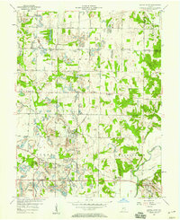
1957 Map of Center Point
USGS Topo · Published 1958About this map
Center Point and Bowling Green serve as the primary hubs in this mid-century look at Clay County, where the agricultural landscape meets the infrastructure of the coal and rail industries. The Pennsylvania railroad corridor cuts through the center of the terrain, connecting small settlements like Ashboro and Stearleyville. The map captures a high density of rural genealogy landmarks, including several country churches like Mt Carmel Ch and St Johns Ch, alongside family-named burial grounds such as Neidlinger Cem, Kealber Cem, and Zenor Cem. To the south, the Eel River meanders through the township of Washington, providing a natural boundary near the southeastern corner of the sheet. Industrial activity is evidenced by the Loading Tipple near Asherville, indicating the area's continued reliance on resource extraction and transport. Local education is anchored by multiple sites like the Township Sch in Jackson and another Twp Sch near Ashboro.
Find a feature on this map
42 named features on this map. Tap any name to fly to it.
Don’t see what you’re looking for? This feature index may not catch every label — zoom into the map to look around manually.
Map Details
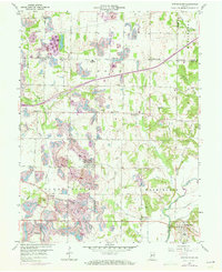
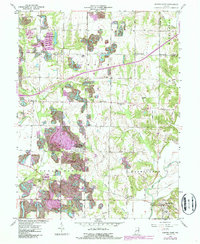
Editions of this 1957 Center Point Map
3 editions found
Other maps of this area

1908 · Clay City
USGS Topo · 1:48,000

1910 · Clay City
USGS Topo · 1:62,500

1950 · Brazil East
USGS Topo · 1:24,000

1950 · Brazil West
USGS Topo · 1:24,000

1952 · Reelsville
USGS Topo · 1:24,000

1953 · Indianapolis
USGS Topo · 1:250,000

1956 · Indianapolis
USGS Topo · 1:250,000

1956 · Patricksburg
USGS Topo · 1:24,000

1957 · Indianapolis
USGS Topo · 1:250,000
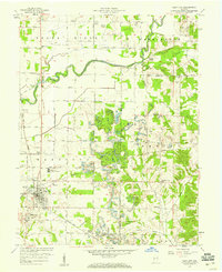
1957 · Clay City
USGS Topo · 1:24,000