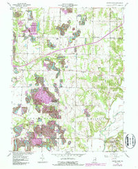
1957 Map of Center Point
USGS Topo · Published 1987About this map
Center Point serves as the hub of this Clay County landscape, where the flat agricultural stretches of Jackson and Cass townships meet the complex topography of Sugar Ridge. The landscape is defined by the winding course of the Eel River and its many tributaries, including Birch Creek and McIntyre Creek. This 1957 survey (with 1980s updates) illustrates a transition from the structured grid of rural crossroads to the intensive land use of the era, visible in the strip mining activity that surrounds Dietz Lake and areas south of Hoosierville.
Find a feature on this map
47 named features on this map. Tap any name to fly to it.
Don’t see what you’re looking for? This feature index may not catch every label — zoom into the map to look around manually.
Map Details
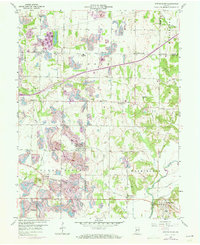
Editions of this 1957 Center Point Map
3 editions found
Other maps of this area

1908 · Clay City
USGS Topo · 1:48,000

1910 · Clay City
USGS Topo · 1:62,500

1950 · Brazil East
USGS Topo · 1:24,000

1950 · Brazil West
USGS Topo · 1:24,000

1952 · Reelsville
USGS Topo · 1:24,000

1953 · Indianapolis
USGS Topo · 1:250,000

1956 · Indianapolis
USGS Topo · 1:250,000

1956 · Patricksburg
USGS Topo · 1:24,000

1957 · Indianapolis
USGS Topo · 1:250,000
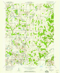
1957 · Center Point
USGS Topo · 1:24,000