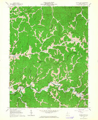
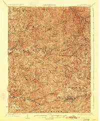
1961 Map of Center Point
USGS Topo · Published 1964About this map
McElroy Creek winds through this rugged portion of the Appalachian Plateau, serving as the primary geographic corridor for a series of small, valley-bound settlements. In the early 1960s, the rural character of this region was defined by its scattered post offices and community hubs like Stringtown, Braden, and Center Point. A notable concentration of industrial activity is evident through the numerous gas wells and pipelines that lace the ridges, alongside a pumping station and compressor station near Braden.
Find a feature on this map
56 named features on this map. Tap any name to fly to it.
Don’t see what you’re looking for? This feature index may not catch every label — zoom into the map to look around manually.
Map Details
Editions of this 1961 Center Point Map
3 editions found
Other maps of this area

1903 · Littleton
USGS Topo · 1:62,500

1905 · Centerpoint
USGS Topo · 1:62,500

1905 · West Union
USGS Topo · 1:62,500

1905 · Littleton
USGS Topo · 1:62,500
1906 · New Martinsville
USGS Topo · 1:62,500
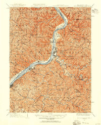
1924 · New Martinsville
USGS Topo · 1:62,500
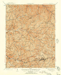
1924 · Centerpoint
USGS Topo · 1:62,500
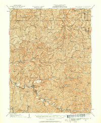
1924 · Littleton
USGS Topo · 1:62,500
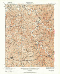
1924 · West Union
USGS Topo · 1:62,500
1925 · Centerpoint
USGS Topo · 1:62,500