2022 Map of Center Point NW
USGS Topo · Published 2022About this map
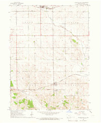
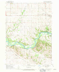
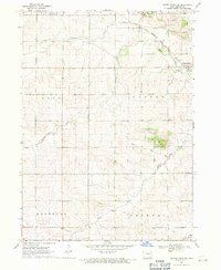
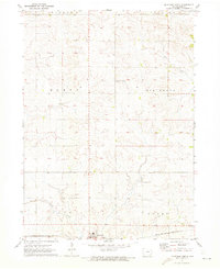
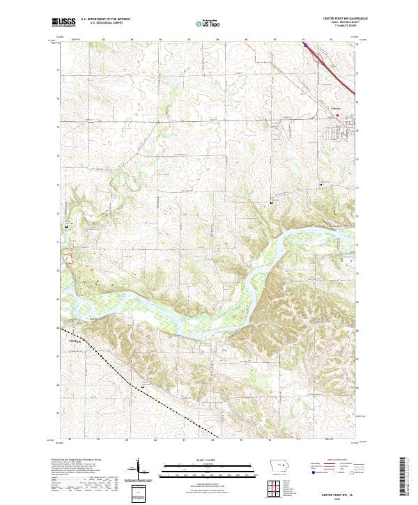
The Cedar River carves a winding path through the center of this Benton County landscape, creating a distinct topographical corridor marked by East Bluff and Wildcat Bluff. This 2022 survey captures the rural character of the region between Vinton and Urbana, where the land is defined by agriculture and small, long-standing community sites. Genealogists will find several family-named burial grounds across the townships, including Kisling Cem, Cox Cem, and Plum Grove Cem, each situated near the network of country roads and creek drainages like Prairie Cr and Bear Cr. The conversion of older corridors into modern recreation is evident in the Cedar Valley Nature Trl, which follows a historic path in the northeast. The presence of Ice House Lake near the river suggests a history of local industry and natural resource use tied to the seasonal cycles of the waterway.
Find a feature on this map
40 named features on this map. Tap any name to fly to it.
Don’t see what you’re looking for? This feature index may not catch every label — zoom into the map to look around manually.
Map Details
Editions of this 2022 Center Point NW Map
This is the sole edition of this map. No revisions or reprints were ever made.
Historical Maps of Urbana Through Time
8 maps found