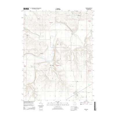
2015 Map of Center
USGS Topo · Published 2015About this map
The Salt River winds through the central Missouri landscape of Ralls County, defining a topography of deep drainages and ridges. In the south, the town of Center serves as a primary local hub, with its grid of streets including N Main St and S Center St established near the headwaters of Jug Run. Further north, smaller settlements like Spalding and Cincinnati sit among the many tributaries feeding the river, such as Lick Cr and Nichols Cr.
Find a feature on this map
63 named features on this map. Tap any name to fly to it.
Don’t see what you’re looking for? This feature index may not catch every label — zoom into the map to look around manually.
Map Details
Editions of this 2015 Center Map
This is the sole edition of this map. No revisions or reprints were ever made.
Other maps of this area

1890 · Louisiana
USGS Topo · 1:125,000

1890 · Mexico
USGS Topo · 1:125,000

1903 · Palmyra
USGS Topo · 1:125,000

1932 · Hannibal
USGS Topo · 1:62,500

1936 · Hannibal
USGS Topo · 1:48,000

1943 · Vandalia
USGS Topo · 1:62,500

1945 · Hannibal
USGS Topo · 1:62,500

1945 · Perry
USGS Topo · 1:62,500

1945 · Vandalia
USGS Topo · 1:62,500

1948 · Quincy
USGS Topo · 1:250,000