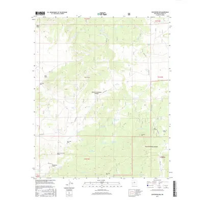
2017 Map of Centerfire Bog
USGS Topo · Published 2017About this map
Centerfire Bog and the surrounding high country of Catron County reveal a landscape defined by water management and forest service infrastructure. Spanning the boundary between the Apache National Forest and the Gila National Forest, this terrain is marked by a complex system of livestock tanks and springs essential for survival in the arid Southwest. Notable water sources such as Todd Browning Spring, Cienega Spring, and the namesake Centerfire Creek provided critical points of interest for early ranchers and foresters alike.
Find a feature on this map
57 named features on this map. Tap any name to fly to it.
Don’t see what you’re looking for? This feature index may not catch every label — zoom into the map to look around manually.
Map Details
Editions of this 2017 Centerfire Bog Map
This is the sole edition of this map. No revisions or reprints were ever made.
Other maps of this area

1915 · Reserve
USGS Topo · 1:125,000

1918 · Reserve
USGS Topo · 1:125,000

1954 · Clifton
USGS Topo · 1:250,000

1954 · Saint Johns
USGS Topo · 1:250,000

1957 · Clifton
USGS Topo · 1:250,000

1957 · Saint Johns
USGS Topo · 1:250,000

1958 · Clifton
USGS Topo · 1:250,000

1958 · Saint Johns
USGS Topo · 1:250,000

1962 · Clifton
USGS Topo · 1:250,000

1962 · Saint Johns
USGS Topo · 1:250,000