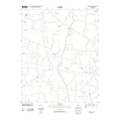
2010 Map of Centertown
USGS Topo · Published 2010About this map
Centertown and its surrounding countryside are defined by a complex network of waterways that flow through this part of Tennessee. The Barren Fork and its major tributaries, including the North Prong Barren Fork and South Prong Barren Fork, dominate the landscape, carving through terrain marked by landmarks like Starkey Rock, Pine Bluff, and Smoot Bluff. This 2010 survey highlights a deeply rooted rural community, evidenced by the high concentration of small family and community burial grounds such as Old Fellowship Cemetery, Grange Hall Cemetery, and Rains Cemetery.
Find a feature on this map
100 named features on this map. Tap any name to fly to it.
Don’t see what you’re looking for? This feature index may not catch every label — zoom into the map to look around manually.
Map Details
Editions of this 2010 Centertown Map
This is the sole edition of this map. No revisions or reprints were ever made.
Other maps of this area

1893 · Mc Minnville
USGS Topo · 1:125,000

1895 · Mc Minnville
USGS Topo · 1:125,000

1908 · Woodbury
USGS Topo · 1:62,500

1913 · Hollow Springs
USGS Topo · 1:62,500

1936 · Fredonia
USGS Topo · 1:24,000

1936 · Petty Gap
USGS Topo · 1:24,000

1936 · Morrison
USGS Topo · 1:24,000

1942 · Statesville
USGS Topo · 1:100,000

1943 · Mc Minnville
USGS Topo · 1:100,000

1952 · Centertown
USGS Topo · 1:24,000