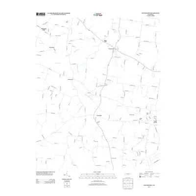
2013 Map of Centertown
USGS Topo · Published 2013About this map
Centertown serves as the central hub of this Middle Tennessee landscape, where a dense network of local roads radiates into the surrounding rural communities. The terrain is defined by the winding paths of the Barren Fork and its various tributaries, including the N Prong Barren Fork and S Prong Barren Fork. These waterways have historically shaped the settlement patterns of towns like Oak Grove, Trousdale, and Pleasant View.
Find a feature on this map
153 named features on this map. Tap any name to fly to it.
Don’t see what you’re looking for? This feature index may not catch every label — zoom into the map to look around manually.
Map Details
Editions of this 2013 Centertown Map
This is the sole edition of this map. No revisions or reprints were ever made.
Other maps of this area

1893 · Mc Minnville
USGS Topo · 1:125,000

1895 · Mc Minnville
USGS Topo · 1:125,000

1908 · Woodbury
USGS Topo · 1:62,500

1913 · Hollow Springs
USGS Topo · 1:62,500

1936 · Fredonia
USGS Topo · 1:24,000

1936 · Petty Gap
USGS Topo · 1:24,000

1936 · Morrison
USGS Topo · 1:24,000

1942 · Statesville
USGS Topo · 1:100,000

1943 · Mc Minnville
USGS Topo · 1:100,000

1952 · Centertown
USGS Topo · 1:24,000