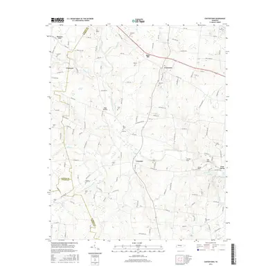
2016 Map of Centertown
USGS Topo · Published 2016About this map
Centertown serves as a focal point in this 2016 survey, situated near the intersection of various local routes in Warren County. The landscape is defined by the winding course of the Barren Fork and its numerous tributaries, including the N Prong Barren Fork and S Prong Barren Fork. Notable landmarks such as Ivy Bluff and Starkey Rock punctuate the terrain, while the De Berry Swamp indicates lower-lying areas in the western portion of the quadrangle.
Find a feature on this map
134 named features on this map. Tap any name to fly to it.
Don’t see what you’re looking for? This feature index may not catch every label — zoom into the map to look around manually.
Map Details
Editions of this 2016 Centertown Map
This is the sole edition of this map. No revisions or reprints were ever made.
Other maps of this area

1893 · Mc Minnville
USGS Topo · 1:125,000

1895 · Mc Minnville
USGS Topo · 1:125,000

1908 · Woodbury
USGS Topo · 1:62,500

1913 · Hollow Springs
USGS Topo · 1:62,500

1936 · Fredonia
USGS Topo · 1:24,000

1936 · Petty Gap
USGS Topo · 1:24,000

1936 · Morrison
USGS Topo · 1:24,000

1942 · Statesville
USGS Topo · 1:100,000

1943 · Mc Minnville
USGS Topo · 1:100,000

1952 · Centertown
USGS Topo · 1:24,000