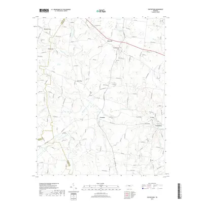
2019 Map of Centertown
USGS Topo · Published 2019About this map
Centertown serves as the focal point of this region where the Barren Fork and its numerous tributaries carve a complex drainage pattern through the central Tennessee landscape. The terrain is defined by prominent elevations such as Bates Hill and Ivy Bluff, which overlook a network of rural communities including Trousdale, Pleasant View, and Oak Grove. Extensive wetlands like De Berry Swamp and several notable springs, including Gum Spring and Gregory Spring, underscore the area's rich water resources.
Find a feature on this map
116 named features on this map. Tap any name to fly to it.
Don’t see what you’re looking for? This feature index may not catch every label — zoom into the map to look around manually.
Map Details
Editions of this 2019 Centertown Map
This is the sole edition of this map. No revisions or reprints were ever made.
Other maps of this area

1893 · Mc Minnville
USGS Topo · 1:125,000

1895 · Mc Minnville
USGS Topo · 1:125,000

1908 · Woodbury
USGS Topo · 1:62,500

1913 · Hollow Springs
USGS Topo · 1:62,500

1936 · Fredonia
USGS Topo · 1:24,000

1936 · Petty Gap
USGS Topo · 1:24,000

1936 · Morrison
USGS Topo · 1:24,000

1942 · Statesville
USGS Topo · 1:100,000

1943 · Mc Minnville
USGS Topo · 1:100,000

1952 · Centertown
USGS Topo · 1:24,000