Loading...
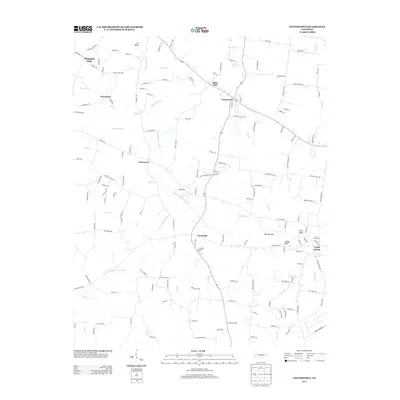
Loading map...1952 Map of Centertown
USGS Topo · Published 1970About this map
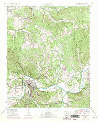
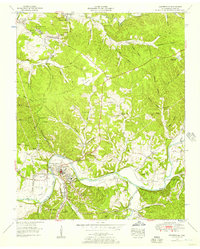
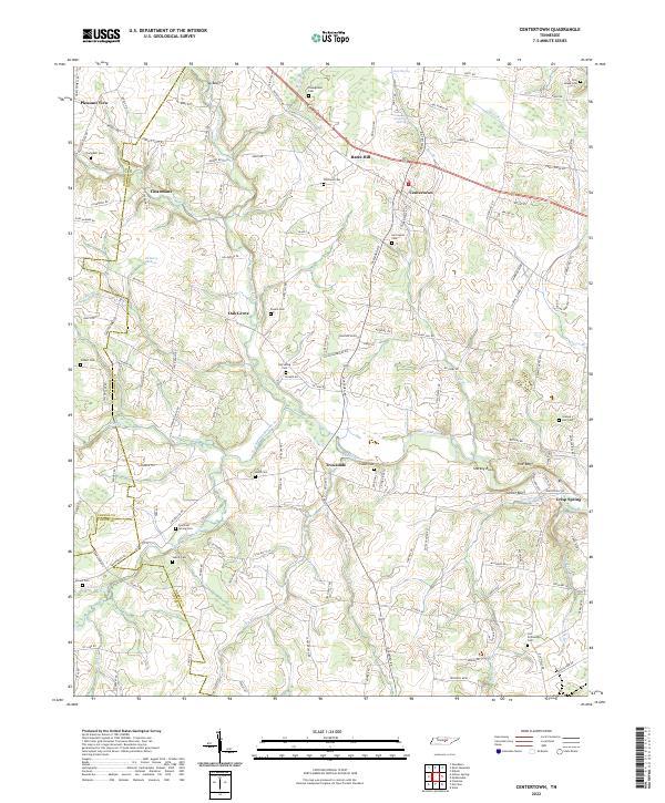
The Duck River snakes through the heart of Hickman County, shaping the landscape near Centerville during this mid-century period. The town serves as a focal point with its filtration plant, gaging station, and the nearby Centerville Airport. Industrial and agricultural activity is evident throughout the region, from the Nunnelly Mines and various strip mines to the county farm and Easterly-Wildland Country Club.
Find a feature on this map
86 named features on this map. Tap any name to fly to it.
Don’t see what you’re looking for? This feature index may not catch every label — zoom into the map to look around manually.
Map Details
Date Portrayed1952
Date Published1970
PublisherU.S. Geological Survey
Map TypeTopographic
Scale1:24,000
Physical Dimensions22.1 x 27.5 inches
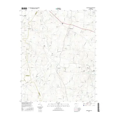
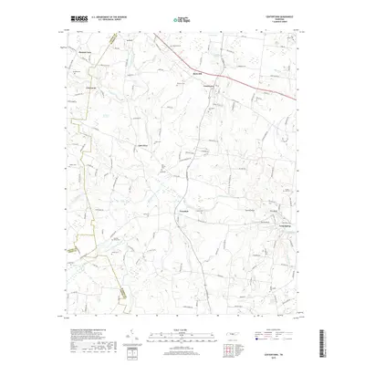
Editions of this 1952 Centertown Map
2 editions found
Historical Maps of Centertown Through Time
7 maps found
Featured Locations
Source Details
SourceU.S. Geological Survey
CopyrightPublic Domain