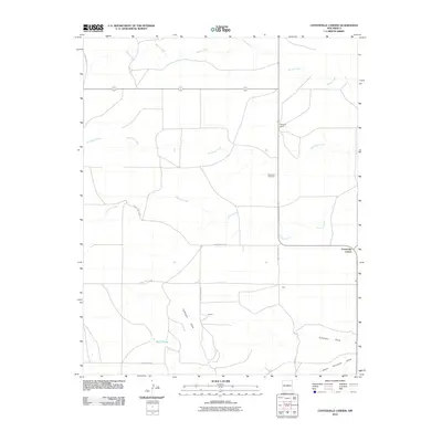
2010 Map of Centerville Corner
USGS Topo · Published 2010About this map
Fairmount Cemetery serves as a central landmark in this corner of Union County, situated along a grid of county routes including County Hwy C-094 and County Hwy C-093. The settlement of Centerville Corner anchors the eastern edge of the survey, while smaller locales like Bolz and Parman sit further west and south. This high-plains landscape is defined by its intermittent drainage systems, notably the branching paths of Fullingim Draw and South Fullingim Draw.
Find a feature on this map
17 named features on this map. Tap any name to fly to it.
Don’t see what you’re looking for? This feature index may not catch every label — zoom into the map to look around manually.
Map Details
Editions of this 2010 Centerville Corner Map
This is the sole edition of this map. No revisions or reprints were ever made.
Other maps of this area

1954 · Tucumcari
USGS Topo · 1:250,000

1958 · Tucumcari
USGS Topo · 1:250,000

1966 · Ione
USGS Topo · 1:24,000

1966 · Hayden
USGS Topo · 1:24,000

1966 · Cherokee Valley
USGS Topo · 1:24,000

1971 · Kerlin Hill
USGS Topo · 1:24,000

1971 · Koger Ranch
USGS Topo · 1:24,000

1971 · Centerville Corner
USGS Topo · 1:24,000

1971 · Doyle Hill
USGS Topo · 1:24,000

1971 · Amistad SE
USGS Topo · 1:24,000