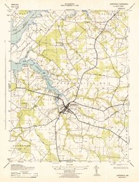
1943 Map of Centerville
USGS Topo · Published 1943About this map
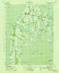
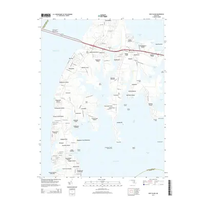
The town of Centerville serves as the hub of this Queen Anne's County landscape during the early 1940s, anchored by the terminal point of the Pennsylvania (Centerville Branch) railroad. The mapping reveals a rural infrastructure of local importance, featuring small agricultural settlements like Starkey Corner, Burrissville, and Carville. Cultural life is marked by numerous houses of worship and education, including Salem Church, Mt Zion Church, Earls Chapter Ch, and Salem School.
Find a feature on this map
56 named features on this map. Tap any name to fly to it.
Don’t see what you’re looking for? This feature index may not catch every label — zoom into the map to look around manually.
Map Details
Editions of this 1943 Centerville Map
This is the sole edition of this map. No revisions or reprints were ever made.
Historical Maps of Centreville Through Time
28 maps found
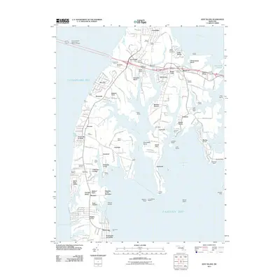
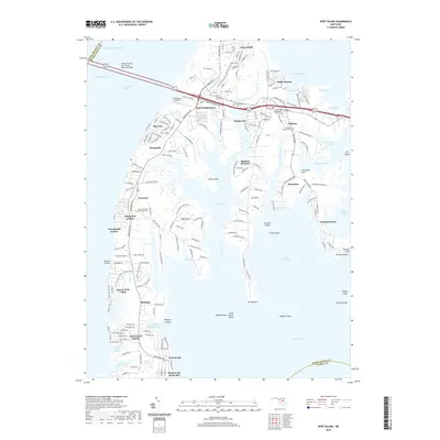
1942 Kent Island
Queen Anne's County, MD
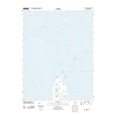
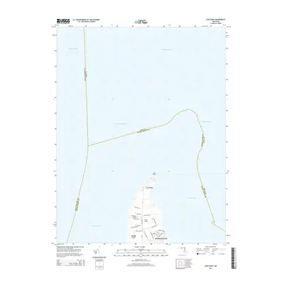
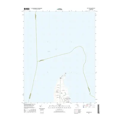
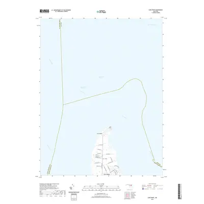
1942 Love Point
Queen Anne's County, MD
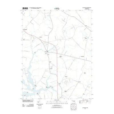
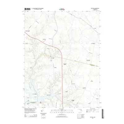
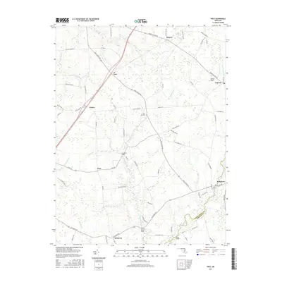
1942 Wye Mills
Queen Anne's County, MD
1943 Centerville
Queen Anne's County, MD
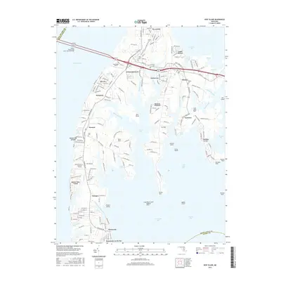
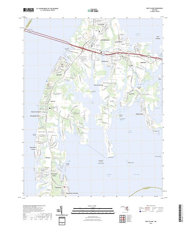
1943 Kent Island
Queen Anne's County, MD
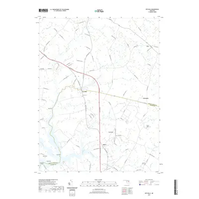
1943 Wye Mills
Queen Anne's County, MD
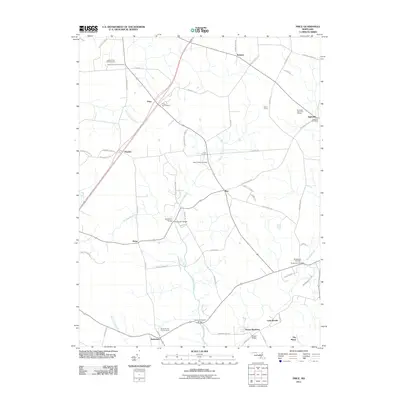
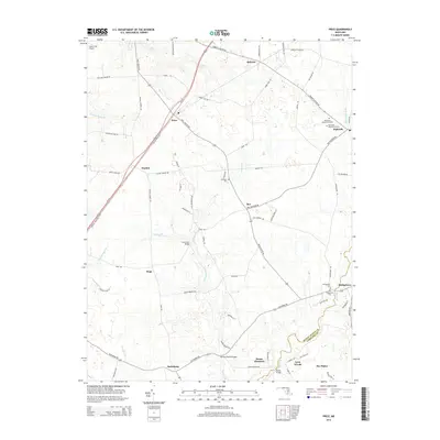
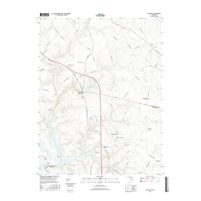
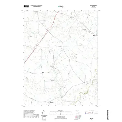
1944 Price
Queen Anne's County, MD
1953 Love Point
Queen Anne's County, MD
2011 Kent Island
Queen Anne's County, MD
2011 Love Point
Queen Anne's County, MD
2011 Price
Queen Anne's County, MD
2011 Wye Mills
Queen Anne's County, MD
2014 Kent Island
Queen Anne's County, MD
2014 Love Point
Queen Anne's County, MD
2014 Price
Queen Anne's County, MD
2014 Wye Mills
Queen Anne's County, MD
2016 Kent Island
Queen Anne's County, MD
2016 Wye Mills
Queen Anne's County, MD
2017 Love Point
Queen Anne's County, MD
2017 Price
Queen Anne's County, MD
2019 Kent Island
Queen Anne's County, MD
2019 Love Point
Queen Anne's County, MD
2019 Price
Queen Anne's County, MD
2019 Wye Mills
Queen Anne's County, MD
2023 Kent Island
Queen Anne's County, MD
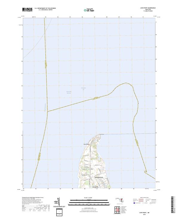
2023 Love Point
Queen Anne's County, MD
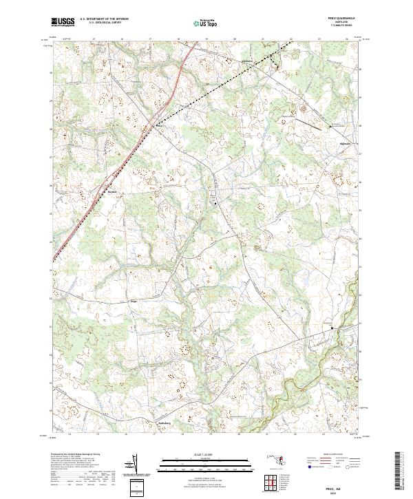
2023 Price
Queen Anne's County, MD
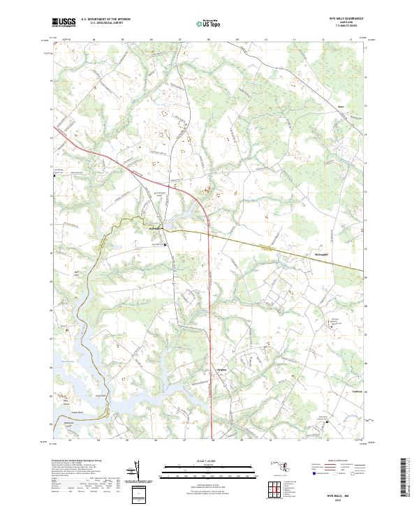
2023 Wye Mills
Queen Anne's County, MD