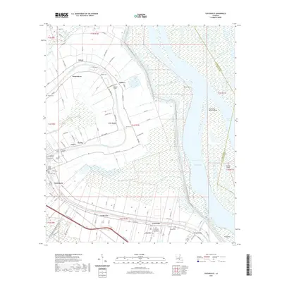
2020 Map of Centerville
USGS Topo · Published 2020About this map
The Bayou Teche defines the cultural and industrial alignment of this St. Mary Parish landscape, its winding course lined with a dense string of historic communities including Franklin, Garden City, Centerville, and Verdunville. This corridor represents the traditional heart of Louisiana's sugar country, where the relationship between the fertile natural levees and the surrounding wetlands is clear. The map documents several significant crossings such as the Sterling Bridge and Willow Street Bridge, as well as the Saint Mary Parish Courthouse at the seat of local government.
Find a feature on this map
104 named features on this map. Tap any name to fly to it.
Don’t see what you’re looking for? This feature index may not catch every label — zoom into the map to look around manually.
Map Details
Editions of this 2020 Centerville Map
This is the sole edition of this map. No revisions or reprints were ever made.
Other maps of this area

1937 · Bayou Sale
USGS Topo · 1:62,500

1937 · Jeanerette
USGS Topo · 1:62,500

1941 · Belle Isle
USGS Topo · 1:62,500

1945 · New Orleans
USGS Topo · 1:250,000

1948 · Foster
USGS Topo · 1:62,500

1954 · Jeanerette
USGS Topo · 1:62,500

1954 · Belle Isle
USGS Topo · 1:62,500

1957 · Bayou Sale
USGS Topo · 1:62,500

1959 · Foster
USGS Topo · 1:62,500

1963 · New Orleans
USGS Topo · 1:250,000