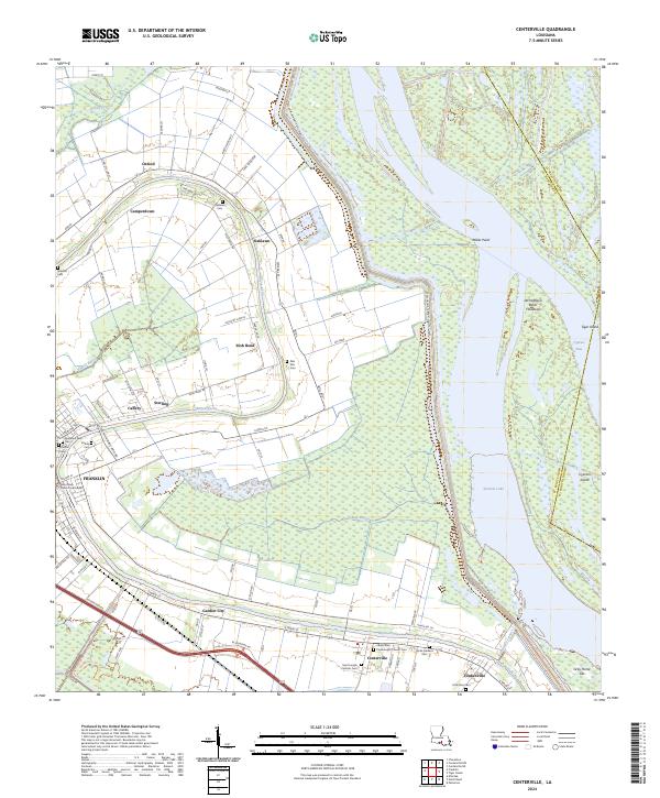
2024 Map of Centerville
USGS Topo · Published 2024About this map
Bayou Teche winds through the heart of St. Mary Parish, anchoring a landscape where sugarcane history meets contemporary conservation. The Bayou Teche National Wildlife Refuge now protects vast stretches of wetlands along the water, while the neighboring towns of Franklin, Centerville, and Garden City maintain their historic alignment with the bayou's course. This area is characterized by its numerous small settlements and family-named landings such as Camperdown, Oaklawn, and Irish Bend, which reflect the long-standing land divisions common in Louisiana’s Acadiana region.
Find a feature on this map
101 named features on this map. Tap any name to fly to it.
Don’t see what you’re looking for? This feature index may not catch every label — zoom into the map to look around manually.
Map Details
Editions of this 2024 Centerville Map
This is the sole edition of this map. No revisions or reprints were ever made.
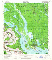
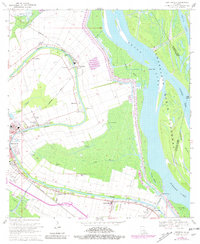
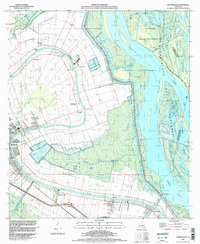
Historical Maps of Oxford Through Time
4 maps found