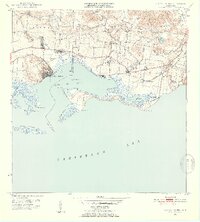
1952 Map of Central Aguirre
USGS Topo · Published 1953About this map
The sugar industry of southern Puerto Rico dominates this mid-century survey, centered on the significant industrial complexes of Central Aguirre and Central Guamaní. The landscape is a structured grid of agricultural production, featuring several named colonias such as Colonia Reunión and Colonia Josefa, alongside the Hacienda Mercedes. These settlements and the worker community of Coquí reflect the concentrated economic life of the Pozo Hondo and Machete districts during a period of intensive cultivation.
Find a feature on this map
36 named features on this map. Tap any name to fly to it.
Don’t see what you’re looking for? This feature index may not catch every label — zoom into the map to look around manually.
Map Details
Editions of this 1952 Central Aguirre Map
2 editions found
Other maps of this area

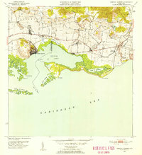
1945 · Central Aguirre
USGS Topo · 1:30,000

1945 · Salinas
USGS Topo · 1:30,000

1946 · Patillas
USGS Topo · 1:30,000

1946 · Coamo
USGS Topo · 1:30,000

1946 · Cayey
USGS Topo · 1:30,000

1946 · Guayama
USGS Topo · 1:30,000

1947 · Patillas SO
USGS Topo · 1:10,000
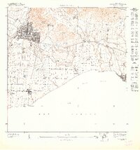
1947 · Guayama NO
USGS Topo · 1:10,000
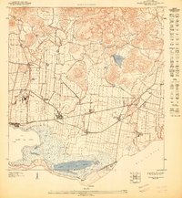
1947 · Central Aguirre NE
USGS Topo · 1:10,000

1947 · Cayey SO
USGS Topo · 1:10,000
Featured Places
- Cimarrona, Guayama
- Parcelas Viejas de Cimarrona, Guayama
- Estancias de Villa Hermosa, Guayama
- Reunión, Guayama
- Las Mareas, Guayama