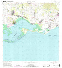
1970 Map of Central Aguirre
USGS Topo · Published 1982About this map
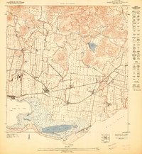
Industrial and agricultural development along the southern coast of Puerto Rico centers on the sugar operations at Central Aguirre and the nearby Central Guamaní. This 1970s era landscape shows a dense network of worker settlements like Coquí, San Felipe, and Besosa situated among extensive irrigation canals and the Río Guamaní. The map illustrates the region's reliance on coastal access, featuring the sheltered Bahía de Jobos and the small Pista de Aterrizaje used for local transport and commerce. Educational and social foundations are represented by the Colegio del Perpetuo Socorro and Escuela Luce, while the surrounding terrain is defined by low-lying wetlands and the protective barrier of the Cayos de Barca in the Mar Caribe. This survey documents a transitional period for the sugarcane industry before significant shifts in the island's economic landscape.
Find a feature on this map
47 named features on this map. Tap any name to fly to it.
Don’t see what you’re looking for? This feature index may not catch every label — zoom into the map to look around manually.
Map Details
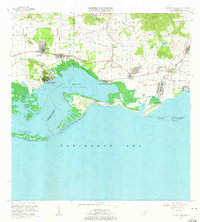
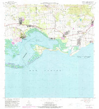
Editions of this 1970 Central Aguirre Map
3 editions found
Other maps of this area

1945 · Central Aguirre
USGS Topo · 1:30,000

1945 · Salinas
USGS Topo · 1:30,000

1946 · Patillas
USGS Topo · 1:30,000

1946 · Coamo
USGS Topo · 1:30,000

1946 · Cayey
USGS Topo · 1:30,000

1946 · Guayama
USGS Topo · 1:30,000

1947 · Patillas SO
USGS Topo · 1:10,000
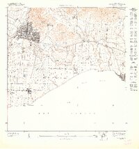
1947 · Guayama NO
USGS Topo · 1:10,000
1947 · Central Aguirre NE
USGS Topo · 1:10,000

1947 · Cayey SO
USGS Topo · 1:10,000
Featured Places
- Cimarrona, Guayama
- Parcelas Viejas de Cimarrona, Guayama
- Estancias de Villa Hermosa, Guayama
- Reunión, Guayama
- Las Mareas, Guayama