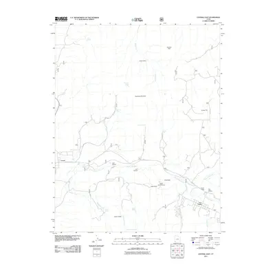
2011 Map of Central East
USGS Topo · Published 2011About this map
Pine Valley and Central anchor this 2011 survey of the high-desert and mountainous terrain in Washington County. The Santa Clara River winds through the southern half of the quadrangle, carving through canyons like Lark Canyon and Earl Canyon as it flows toward the southwest. This area is characterized by significant topographic relief, rising from the riverbed to heights at Harrison Peak and Atchinson Mountain.
Find a feature on this map
63 named features on this map. Tap any name to fly to it.
Don’t see what you’re looking for? This feature index may not catch every label — zoom into the map to look around manually.
Map Details
Editions of this 2011 Central East Map
This is the sole edition of this map. No revisions or reprints were ever made.
Other maps of this area
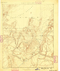
1885 · St. George
USGS Topo · 1:250,000
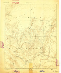
1891 · St. George
USGS Topo · 1:250,000
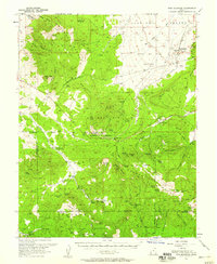
1950 · Iron Mountain
USGS Topo · 1:62,500
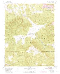
1950 · Page Ranch
USGS Topo · 1:24,000
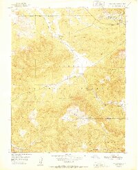
1951 · Page Ranch
USGS Topo · 1:24,000
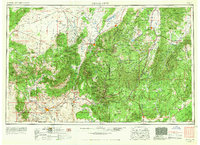
1953 · Cedar City
USGS Topo · 1:250,000
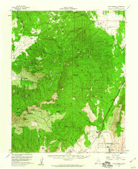
1957 · New Harmony
USGS Topo · 1:62,500
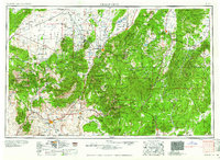
1958 · Cedar City
USGS Topo · 1:250,000
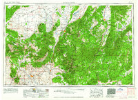
1962 · Cedar City
USGS Topo · 1:250,000
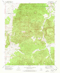
1972 · Pinto
USGS Topo · 1:24,000