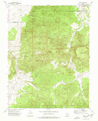
1972 Map of Pinto
USGS Topo · Published 1976About this map
Pinto stands as the primary settlement in this 1970s landscape, situated along the banks of Pinto Creek where the waterway exits the high terrain of the Dixie National Forest. The map documents a rugged area defined by steep drainages like Wheat Grass Canyon and the prominent heights of Cove Mountain. This region, crossing the Iron and Washington County line, reveals a history of early pioneer activity and resource extraction, evidenced by the Hamblin Cem and numerous named water sources such as Hyatt Spring and Lone Spring.
Find a feature on this map
25 named features on this map. Tap any name to fly to it.
Don’t see what you’re looking for? This feature index may not catch every label — zoom into the map to look around manually.
Map Details
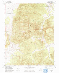
Editions of this 1972 Pinto Map
2 editions found
Other maps of this area

1885 · St. George
USGS Topo · 1:250,000

1891 · St. George
USGS Topo · 1:250,000

1950 · Iron Mountain
USGS Topo · 1:62,500

1950 · Silver Peak
USGS Topo · 1:24,000

1950 · Page Ranch
USGS Topo · 1:24,000

1951 · Silver Peak
USGS Topo · 1:24,000

1951 · Page Ranch
USGS Topo · 1:24,000

1953 · Cedar City
USGS Topo · 1:250,000

1957 · New Harmony
USGS Topo · 1:62,500

1958 · Cedar City
USGS Topo · 1:250,000