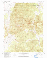
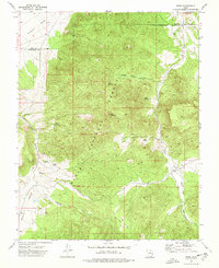
1972 Map of Pinto
USGS Topo · Published 1991About this map
The high-desert settlement of Pinto and its surrounding water sources define this 1972 survey along the boundary of Iron Co Washington Co. Much of the terrain is managed by the Dixie National Forest, dominated by Cove Mountain and the deep cut of Wheat Grass Canyon. For genealogists, the map identifies the Hamblin Cem and another Cem near the primary townsite, providing important markers for local family history in this corner of the state.
Find a feature on this map
29 named features on this map. Tap any name to fly to it.
Don’t see what you’re looking for? This feature index may not catch every label — zoom into the map to look around manually.
Map Details
Editions of this 1972 Pinto Map
2 editions found
Other maps of this area

1885 · St. George
USGS Topo · 1:250,000

1891 · St. George
USGS Topo · 1:250,000

1950 · Iron Mountain
USGS Topo · 1:62,500

1950 · Silver Peak
USGS Topo · 1:24,000

1950 · Page Ranch
USGS Topo · 1:24,000

1951 · Silver Peak
USGS Topo · 1:24,000

1951 · Page Ranch
USGS Topo · 1:24,000

1953 · Cedar City
USGS Topo · 1:250,000

1957 · New Harmony
USGS Topo · 1:62,500

1958 · Cedar City
USGS Topo · 1:250,000