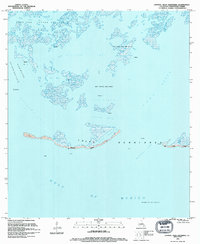
1994 Map of Central Isles Dernieres
USGS Topo · Published 1994About this map
The Isles Dernieres barrier chain marks the fragile boundary between the Gulf of Mexico and the marshy interior of Terrebonne Parish. This coastal landscape is defined by its industrial footprint, featuring extensive offshore infrastructure such as the Bay Round Gas Field and the Pelican Lake Gas Field. Numerous platforms dot the waters of Caillou Bay and Pelican Lake, illustrating the intense energy extraction of the late twentieth century.
Find a feature on this map
33 named features on this map. Tap any name to fly to it.
Don’t see what you’re looking for? This feature index may not catch every label — zoom into the map to look around manually.
Map Details
Editions of this 1994 Central Isles Dernieres Map
This is the sole edition of this map. No revisions or reprints were ever made.
Other maps of this area

1935 · Cocodrie
USGS Topo · 1:31,680
1945 · Cocodrie
USGS Topo · 1:31,680

1945 · New Orleans
USGS Topo · 1:250,000
1947 · West Derniere
USGS Topo · 1:31,680

1949 · Grand Bayou Du Large
USGS Topo · 1:31,680
1949 · Dog Lake
USGS Topo · 1:31,680
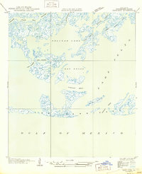
1950 · Derniere
USGS Topo · 1:31,680
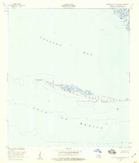
1953 · Western Isles Dernieres
USGS Topo · 1:24,000
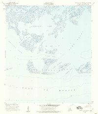
1953 · Central Isles Dernieres
USGS Topo · 1:24,000
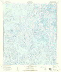
1953 · Dog Lake
USGS Topo · 1:24,000