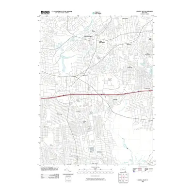
2010 Map of Central Islip
USGS Topo · Published 2010About this map
The Nissequogue River and its varied tributaries, including the Northeast Branch and Phillips Millpond, anchor the northern landscape of this Suffolk County region. The transition from the more open surroundings of Smithtown and The Landing to the dense suburban grids of Central Islip and Brentwood is clearly visible. This 2010 survey documents the modern layout of major transportation corridors, such as the Southern State Pkwy and LIE North Svc Rd, which cut through long-established residential and institutional areas.
Find a feature on this map
66 named features on this map. Tap any name to fly to it.
Don’t see what you’re looking for? This feature index may not catch every label — zoom into the map to look around manually.
Map Details
Editions of this 2010 Central Islip Map
This is the sole edition of this map. No revisions or reprints were ever made.
Other maps of this area

1901 · Babylon
USGS Topo · 1:62,500

1901 · Northport
USGS Topo · 1:62,500

1902 · Setauket
USGS Topo · 1:62,500

1902 · Fire Island
USGS Topo · 1:62,500

1903 · Babylon
USGS Topo · 1:62,500

1903 · Northport
USGS Topo · 1:62,500

1903 · Fire Island
USGS Topo · 1:62,500

1904 · Setauket
USGS Topo · 1:62,500

1904 · Islip
USGS Topo · 1:125,000

1919 · Setauket
USGS Topo · 1:62,500