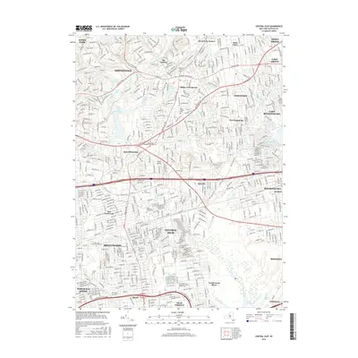
2016 Map of Central Islip
USGS Topo · Published 2016About this map
The Nissequogue River winds through the northern reaches of this Long Island landscape, connecting The Landing and Smithtown with the shoreline at Head of the Harbor. This 2016 survey documents a dense suburban network defined by significant historical institutions and transit corridors. Central to the map is the Old Central Islip Psychiatric Center Patient Cem, a somber landmark reflecting the area's institutional history.
Find a feature on this map
55 named features on this map. Tap any name to fly to it.
Don’t see what you’re looking for? This feature index may not catch every label — zoom into the map to look around manually.
Map Details
Editions of this 2016 Central Islip Map
This is the sole edition of this map. No revisions or reprints were ever made.
Other maps of this area

1901 · Babylon
USGS Topo · 1:62,500

1901 · Northport
USGS Topo · 1:62,500

1902 · Setauket
USGS Topo · 1:62,500

1902 · Fire Island
USGS Topo · 1:62,500

1903 · Babylon
USGS Topo · 1:62,500

1903 · Northport
USGS Topo · 1:62,500

1903 · Fire Island
USGS Topo · 1:62,500

1904 · Setauket
USGS Topo · 1:62,500

1904 · Islip
USGS Topo · 1:125,000

1919 · Setauket
USGS Topo · 1:62,500