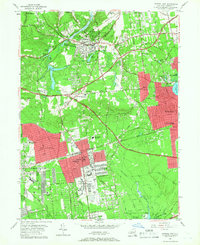
1956 Map of Central Islip
USGS Topo · Published 1967About this map
Central Islip State Hospital and Kings Park State Hospital dominate the mid-century landscape of central Suffolk County, reflecting the era's significant institutional presence in the region. The Long Island Railroad cuts horizontally across the territory, connecting established residential hubs like Brentwood and Smithtown to the wider island network. This 1956 survey captures the area during a period of rapid post-war suburbanization, evidenced by the emerging grid of residential streets encroaching upon large estates and the private grounds of the Wyandanch Club. Along the Nissequogue River, the landscape transitions from the developed Village of the Branch to the expansive Bayard Cutting Arboretum in the south. Notable local landmarks such as the Smithtown Aviation Country Club and Ross Sanatorium provide insight into the social and medical infrastructure serving Long Island's growing population.
Find a feature on this map
69 named features on this map. Tap any name to fly to it.
Don’t see what you’re looking for? This feature index may not catch every label — zoom into the map to look around manually.
Map Details
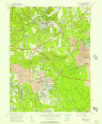
Editions of this 1956 Central Islip Map
2 editions found
Other maps of this area

1901 · Babylon
USGS Topo · 1:62,500

1901 · Northport
USGS Topo · 1:62,500

1902 · Setauket
USGS Topo · 1:62,500

1902 · Fire Island
USGS Topo · 1:62,500

1903 · Babylon
USGS Topo · 1:62,500

1903 · Northport
USGS Topo · 1:62,500

1903 · Fire Island
USGS Topo · 1:62,500

1904 · Setauket
USGS Topo · 1:62,500

1904 · Islip
USGS Topo · 1:125,000

1919 · Setauket
USGS Topo · 1:62,500