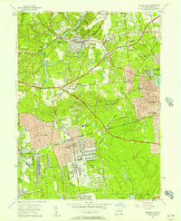
1956 Map of Central Islip
USGS Topo · Published 1957About this map
Central Islip State Hospital and the nearby Kings Park State Hospital anchor this mid-century landscape of central Suffolk County. The sprawling facilities represent a significant era of institutional land use, surrounded by a rapidly densifying suburban grid. The area is defined by its transit corridors, including the Long Island Railroad and the historic Jericho Turnpike, which facilitate the growth of communities like Brentwood and Smithtown. The map captures a transition from private clubs and estates, such as the Wyandanch Club and Smithtown Aviation Country Club, toward modern residential developments. In the south, the Bayard Cutting Arboretum preserves open space along the Connetquot River, while the northern reaches follow the winding path of the Nissequogue River through The Landing. Local history is preserved in the numerous schools and cemeteries, from St Patricks Cem to the Academy of St Joseph.
Find a feature on this map
80 named features on this map. Tap any name to fly to it.
Don’t see what you’re looking for? This feature index may not catch every label — zoom into the map to look around manually.
Map Details
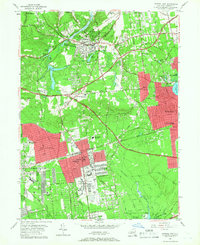
Editions of this 1956 Central Islip Map
2 editions found
Other maps of this area

1901 · Babylon
USGS Topo · 1:62,500

1901 · Northport
USGS Topo · 1:62,500

1902 · Setauket
USGS Topo · 1:62,500

1902 · Fire Island
USGS Topo · 1:62,500

1903 · Babylon
USGS Topo · 1:62,500

1903 · Northport
USGS Topo · 1:62,500

1903 · Fire Island
USGS Topo · 1:62,500

1904 · Setauket
USGS Topo · 1:62,500

1904 · Islip
USGS Topo · 1:125,000

1919 · Setauket
USGS Topo · 1:62,500