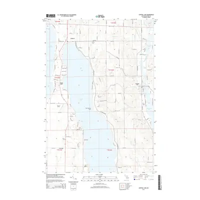
2014 Map of Central Lake
USGS Topo · Published 2014About this map
Torch Lake and the Intermediate River chain dominate this northern Michigan landscape, illustrating a complex network of glacial lakes and connecting waterways. The village of Central Lake sits at a narrow point where Hanley Lake meets Intermediate Lake, showing the historical importance of these channels for local transport. To the west, the tiny settlement of Eastport serves as a gateway near the shores of Grand Traverse Bay.
Find a feature on this map
117 named features on this map. Tap any name to fly to it.
Don’t see what you’re looking for? This feature index may not catch every label — zoom into the map to look around manually.
Map Details
Editions of this 2014 Central Lake Map
This is the sole edition of this map. No revisions or reprints were ever made.
Other maps of this area

1954 · Central Lake
USGS Topo · 1:62,500

1954 · Traverse City
USGS Topo · 1:250,000

1955 · Cheboygan
USGS Topo · 1:250,000

1956 · Mancelona
USGS Topo · 1:62,500

1957 · Elk Rapids
USGS Topo · 1:62,500

1958 · Cheboygan
USGS Topo · 1:250,000

1958 · Traverse City
USGS Topo · 1:250,000

1961 · Boyne City
USGS Topo · 1:62,500

1975 · Mancelona NW
USGS Topo · 1:24,000

1975 · Boyne City NW
USGS Topo · 1:24,000