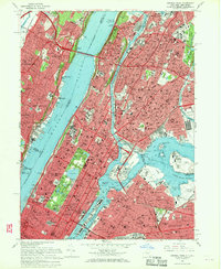
1966 Map of Central Park
USGS Topo · Published 1970About this map
Central Park serves as the green anchor for this mid-1960s study of upper Manhattan and the surrounding boroughs. The map documents the dense urban landscape of the Bronx, Harlem, and western Queens, including Rikers Island and the bustling operations at La Guardia Airport. This era captures the city's complex transit network at a peak, from the George Washington Bridge and Triborough Bridge to the rail lines of the Penn Central and Erie-Lackawanna. Institutional landmarks are remarkably detailed, including the campus of Columbia University, the Cathedral of St John the Divine, and the Metropolitan Museum of Art. Across the Hudson River, the steep Palisades define the New Jersey shoreline, where established communities like Fort Lee and Cliffside Park overlook the water, showing the geographic transition from the Manhattan grid to the suburban heights of Bergen County.
Find a feature on this map
154 named features on this map. Tap any name to fly to it.
Don’t see what you’re looking for? This feature index may not catch every label — zoom into the map to look around manually.
Map Details
Editions of this 1966 Central Park Map
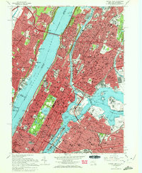
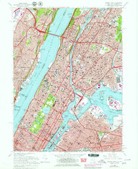
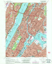
4 editions found
Other maps of this area

1888 · Paterson
USGS Topo · 1:62,500

1889 · Brooklyn
USGS Topo · 1:62,500

1891 · Brooklyn
USGS Topo · 1:62,500

1891 · Harlem
USGS Topo · 1:62,500

1892 · Paterson
USGS Topo · 1:62,500

1897 · Harlem
USGS Topo · 1:62,500

1897 · Brooklyn
USGS Topo · 1:62,500

1898 · Harlem
USGS Topo · 1:62,500

1898 · Staten Island
USGS Topo · 1:62,500

1898 · Brooklyn
USGS Topo · 1:62,500