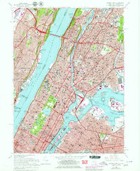
1966 Map of Central Park
USGS Topo · Published 1979About this map
The dense urban geometry of Manhattan and the surrounding boroughs is dominated by Central Park, shown here with its internal landmarks including Reservoir, The Lake, and major cultural institutions like the Metropolitan Museum of Art and the American Museum of Natural History. This 1966 field-checked survey, updated in the late 1970s, documents the city's complex infrastructure, from the United Nations Headquarters on the East River to the athletic cathedrals of Yankee Stadium, the Polo Grounds, and Shea Stadium. Beyond the grid, the survey details the high-density residential neighborhoods of Harlem, Mott Haven, and Astoria, while across the Hudson River, the New Jersey landscape transitions from the industrial waterfront of Edgewater to the residential heights of Fort Lee and Cliffside Park atop the Palisades.
Find a feature on this map
109 named features on this map. Tap any name to fly to it.
Don’t see what you’re looking for? This feature index may not catch every label — zoom into the map to look around manually.
Map Details
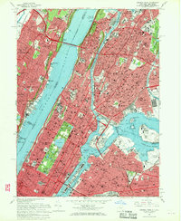
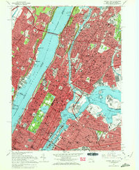
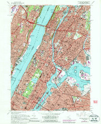
Editions of this 1966 Central Park Map
4 editions found
Other maps of this area

1888 · Paterson
USGS Topo · 1:62,500

1889 · Brooklyn
USGS Topo · 1:62,500

1891 · Brooklyn
USGS Topo · 1:62,500

1891 · Harlem
USGS Topo · 1:62,500

1892 · Paterson
USGS Topo · 1:62,500

1897 · Harlem
USGS Topo · 1:62,500

1897 · Brooklyn
USGS Topo · 1:62,500

1898 · Harlem
USGS Topo · 1:62,500

1898 · Staten Island
USGS Topo · 1:62,500

1898 · Brooklyn
USGS Topo · 1:62,500