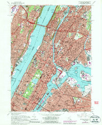
1966 Map of Central Park
USGS Topo · Published 1988About this map
The dense urban grid of Manhattan and the Bronx meets the rugged New Jersey Palisades across the Hudson River in this detailed mid-century survey. Notable for its concentration of world-renowned institutions, the map documents the geographic relationship between Central Park, Columbia University, and the Metropolitan Museum of Art. The industrial and maritime character of the era is evident along the Harlem River and East River, where numerous channels and islands like Wards Island and Randalls Island define the waterways. Transportation infrastructure is a primary focus, illustrating the massive spans of the George Washington Bridge and the Triborough Bridge alongside the rail corridors of Conrail. On the New Jersey side, the suburban development of Fort Lee and Cliffside Park contrasts with the preserved green space of Palisades Interstate Park.
Find a feature on this map
124 named features on this map. Tap any name to fly to it.
Don’t see what you’re looking for? This feature index may not catch every label — zoom into the map to look around manually.
Map Details
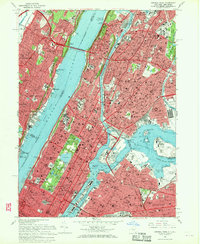
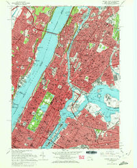
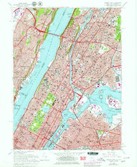
Editions of this 1966 Central Park Map
4 editions found
Other maps of this area

1888 · Paterson
USGS Topo · 1:62,500

1889 · Brooklyn
USGS Topo · 1:62,500

1891 · Brooklyn
USGS Topo · 1:62,500

1891 · Harlem
USGS Topo · 1:62,500

1892 · Paterson
USGS Topo · 1:62,500

1897 · Harlem
USGS Topo · 1:62,500

1897 · Brooklyn
USGS Topo · 1:62,500

1898 · Harlem
USGS Topo · 1:62,500

1898 · Staten Island
USGS Topo · 1:62,500

1898 · Brooklyn
USGS Topo · 1:62,500