
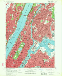
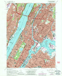
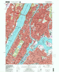
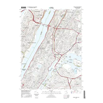
1966 Map of Central Park
USGS Topo · Published 1972About this map
Central Park dominates the center of this mid-century urban landscape, showing the detailed layout of its internal features such as The Lake, Reservoir, and Harlem Meer. Beyond the park's boundaries, the dense Manhattan grid is populated with major institutional landmarks including Columbia University, the Metropolitan Museum of Art, and United Nations Headquarters. The survey captures the height of the city's twentieth-century infrastructure, tracing the complex intersections of the Major Deegan Expwy and the George Washington Bridge over the Hudson River.
Find a feature on this map
171 named features on this map. Tap any name to fly to it.
Don’t see what you’re looking for? This feature index may not catch every label — zoom into the map to look around manually.
Map Details
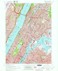
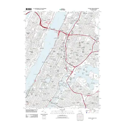
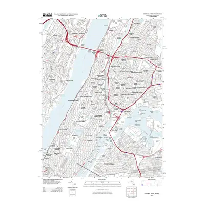
Editions of this 1966 Central Park Map
4 editions found
Historical Maps of New York Through Time
9 maps found
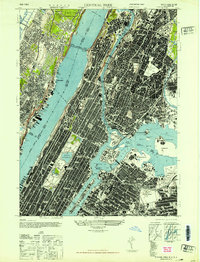
1947 Central Park
New York County, NY
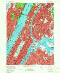
1956 Central Park
New York County, NY
1966 Central Park
New York County, NY
1995 Central Park
New York County, NY
2011 Central Park
New York County, NY
2013 Central Park
New York County, NY
2016 Central Park
New York County, NY
2019 Central Park
New York County, NY

2023 Central Park
New York County, NY