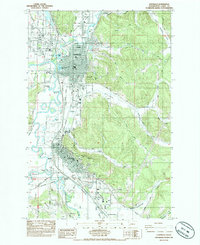
1985 Map of Centralia
USGS Topo · Published 1985About this map
The convergence of the Skookumchuck River and the Chehalis River defines the urban corridor between Centralia and Chehalis in the mid-1980s. This survey illustrates a landscape heavily shaped by its river systems and the heavy rail infrastructure of the Burlington Northern and Union Pacific railroads. The valley floor is dotted with numerous small lakes and oxbows, including Hayes Lake, Plummer Lake, and Horseshoe Lake, reflecting the dynamic hydrology of the region. Significant public spaces like Fort Borst Park and Stan Hedwall Park border the riverbanks, while the industrial and transportation character of the area is anchored by the Chehalis-Centralia Airport. From the residential elevations of Seminary Hill to the rural expanses of Waunch Prairie, the map tracks the growth of these twin cities along the Interstate 5 corridor.
Find a feature on this map
55 named features on this map. Tap any name to fly to it.
Don’t see what you’re looking for? This feature index may not catch every label — zoom into the map to look around manually.
Map Details
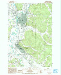
Editions of this 1985 Centralia Map
2 editions found
Other maps of this area

1916 · Chehalis
USGS Topo · 1:125,000

1940 · Tenino
USGS Topo · 1:62,500

1941 · Meskill
USGS Topo · 1:62,500

1941 · Gate
USGS Topo · 1:62,500

1944 · Tenino
USGS Topo · 1:62,500

1949 · Tenino
USGS Topo · 1:62,500

1953 · Hoquiam
USGS Topo · 1:250,000

1953 · Rochester
USGS Topo · 1:62,500

1953 · Adna
USGS Topo · 1:62,500

1954 · Centralia
USGS Topo · 1:62,500