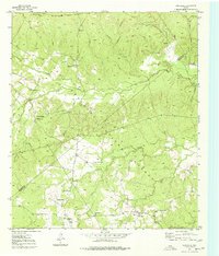
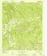
1950 Map of Centralia
USGS Topo · Published 1977About this map
Davy Crockett National Forest dominates the terrain of this East Texas survey, where the timber economy is clearly visible through the legacy of the Old Railroad Grade and active Logging Railroad corridors. These transit lines carved paths through the dense woods between settlements like Hagerville and Centralia, connecting the isolated homesteads of the Piney Woods to larger markets.
Find a feature on this map
30 named features on this map. Tap any name to fly to it.
Don’t see what you’re looking for? This feature index may not catch every label — zoom into the map to look around manually.
Map Details
Editions of this 1950 Centralia Map
This is the sole edition of this map. No revisions or reprints were ever made.
Other maps of this area
1950 · Kennard NE
USGS Topo · 1:24,000
1950 · Ratcliff
USGS Topo · 1:24,000
1951 · Kennard
USGS Topo · 1:24,000
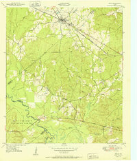
1951 · Wells
USGS Topo · 1:24,000
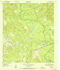
1951 · Wells SW
USGS Topo · 1:24,000
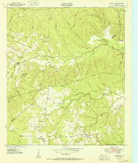
1951 · Centralia
USGS Topo · 1:24,000
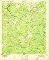
1951 · Kennard NE
USGS Topo · 1:24,000
1951 · Ratcliff
USGS Topo · 1:24,000

1953 · Palestine
USGS Topo · 1:250,000

1957 · Palestine
USGS Topo · 1:250,000