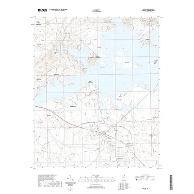
2020 Map of Centre
USGS Topo · Published 2020About this map
Centre serves as the focal point of this Cherokee County landscape, where the Cherokee County Courthouse stands near the confluence of local commerce and the extensive waters of Weiss Lake. The terrain is defined by prominent ridges and mountains, including Lookout Mountain in the northwest and the distinctive Round Mountain, which rises above the surrounding coves. A dense network of rural roads connects established settlements like Leesburg, Cedar Bluff, and Blue Pond, tracing the complex shoreline where Yellow Creek and Big Nose Creek meet the lake.
Find a feature on this map
180 named features on this map. Tap any name to fly to it.
Don’t see what you’re looking for? This feature index may not catch every label — zoom into the map to look around manually.
Map Details
Editions of this 2020 Centre Map
This is the sole edition of this map. No revisions or reprints were ever made.
Other maps of this area

1893 · Fort Payne
USGS Topo · 1:125,000

1898 · Fort Payne
USGS Topo · 1:125,000

1900 · Fort Payne
USGS Topo · 1:125,000

1946 · Portersville
USGS Topo · 1:24,000
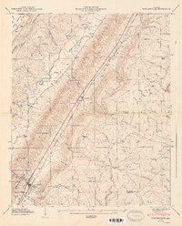
1947 · Portersville
USGS Topo · 1:24,000

1955 · Rome
USGS Topo · 1:250,000

1958 · Rome
USGS Topo · 1:250,000

1961 · Rome
USGS Topo · 1:250,000

1963 · Rome
USGS Topo · 1:250,000
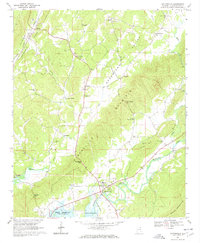
1967 · Gaylesville
USGS Topo · 1:24,000