Loading...
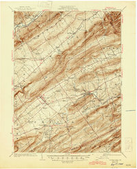
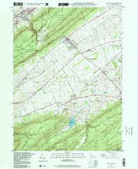
Loading map...1924 Map of Centre Hall
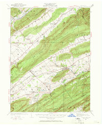
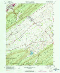
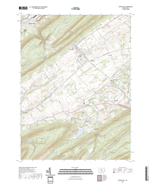
USGS Topo · Published 1969About this map
Nittany Valley and the surrounding ridges of the Ridge-and-Valley Appalachians define this landscape, where early 20th-century agriculture and transportation center on the Pennsylvania RR corridor. The village of Centre Hall serves as a primary hub, while the surrounding countryside is dotted with a high density of one-room schoolhouses, such as Plum Grove School, Pike School, and Diehls School, reflecting the era's decentralized rural education system.
Find a feature on this map
95 named features on this map. Tap any name to fly to it.
Don’t see what you’re looking for? This feature index may not catch every label — zoom into the map to look around manually.
Map Details
Date Portrayed1924
Date Published1969
PublisherU.S. Geological Survey
Map TypeTopographic
Scale1:62,500
Physical Dimensions17.1 x 21 inches
Editions of this 1924 Centre Hall Map
2 editions found

Historical Maps of Bellefonte Through Time
6 maps found
Featured Locations
Source Details
SourceU.S. Geological Survey
CopyrightPublic Domain