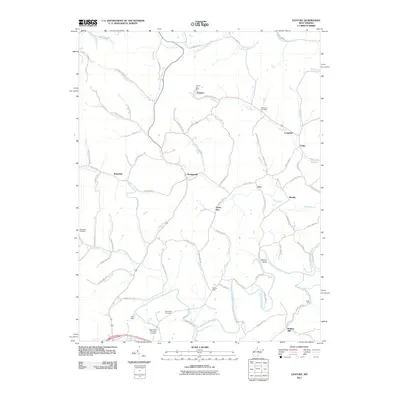
2011 Map of Century
USGS Topo · Published 2011About this map
The Buckhannon River winds through the heart of this landscape, anchoring a network of small settlements and rural crossroads in Barbour and Upshur counties. The map captures a moment in the early 21st century when the area’s identity remains tied to its local postal and community centers, notably Century Post Office and the multi-part settlement of Century and Century Number 2. Small-scale farming and residential clusters like EUB Acres and Longview are connected by a dense web of county highways that follow the contours of the land.
Find a feature on this map
83 named features on this map. Tap any name to fly to it.
Don’t see what you’re looking for? This feature index may not catch every label — zoom into the map to look around manually.
Map Details
Editions of this 2011 Century Map
This is the sole edition of this map. No revisions or reprints were ever made.
Other maps of this area

1893 · Buckhannon
USGS Topo · 1:125,000

1896 · Buckhannon
USGS Topo · 1:125,000

1897 · Buckhannon
USGS Topo · 1:125,000

1904 · Philippi
USGS Topo · 1:62,500

1904 · Weston
USGS Topo · 1:62,500

1912 · Sago
USGS Topo · 1:48,000

1912 · Crawford
USGS Topo · 1:48,000

1914 · Sago
USGS Topo · 1:62,500

1914 · Crawford
USGS Topo · 1:62,500

1925 · Philippi
USGS Topo · 1:62,500