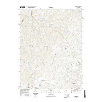
2016 Map of Century
USGS Topo · Published 2016About this map
Century and Hodgesville anchor this survey of the West Virginia highlands where Upshur, Barbour, and Harrison Counties meet. The landscape is defined by the winding course of the Buckhannon River in the south and a complex network of named drainages like Pecks Run, Gnatty Cr, and Big Run. Historically significant landmarks include the Century Number One Community Spring and the old milling site at Kesling Mill. The map provides detailed locations for local genealogists, including the Buckhannon Memorial Cem, Rohrbough Cem, and Oakington Cem. Small rural clusters such as Ruraldale, Teter, and Murphy are connected by a dense web of county routes, illustrating the enduring settlement patterns of these Appalachian ridges. The topography is intricately detailed, showing the steep hollows and narrow valleys that have shaped travel and community development in this region of the state.
Find a feature on this map
75 named features on this map. Tap any name to fly to it.
Don’t see what you’re looking for? This feature index may not catch every label — zoom into the map to look around manually.
Map Details
Editions of this 2016 Century Map
This is the sole edition of this map. No revisions or reprints were ever made.
Other maps of this area

1893 · Buckhannon
USGS Topo · 1:125,000

1896 · Buckhannon
USGS Topo · 1:125,000

1897 · Buckhannon
USGS Topo · 1:125,000

1904 · Philippi
USGS Topo · 1:62,500

1904 · Weston
USGS Topo · 1:62,500

1912 · Sago
USGS Topo · 1:48,000

1912 · Crawford
USGS Topo · 1:48,000

1914 · Sago
USGS Topo · 1:62,500

1914 · Crawford
USGS Topo · 1:62,500

1925 · Philippi
USGS Topo · 1:62,500