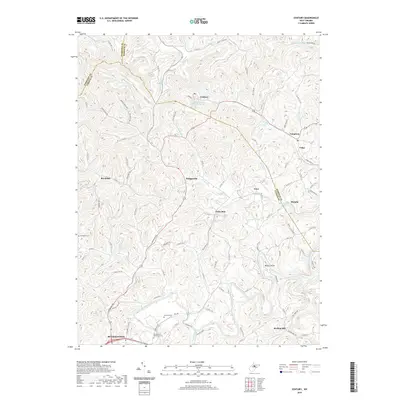
2019 Map of Century
USGS Topo · Published 2019About this map
Buckhannon anchors the southwest corner of this map, serving as a gateway to the intricate drainage basins of the Buckhannon River and its numerous tributaries. The landscape is defined by the winding paths of Pecks Run, Big Run, and Hackers Creek, which carve through the terrain between the borders of Harrison, Barbour, and Upshur counties. Historically significant sites for genealogists include Oakington Cemetery, Leonard Cemetery, and the Buckhannon Memorial Cemetery.
Find a feature on this map
94 named features on this map. Tap any name to fly to it.
Don’t see what you’re looking for? This feature index may not catch every label — zoom into the map to look around manually.
Map Details
Editions of this 2019 Century Map
This is the sole edition of this map. No revisions or reprints were ever made.
Other maps of this area

1893 · Buckhannon
USGS Topo · 1:125,000

1896 · Buckhannon
USGS Topo · 1:125,000

1897 · Buckhannon
USGS Topo · 1:125,000

1904 · Philippi
USGS Topo · 1:62,500

1904 · Weston
USGS Topo · 1:62,500

1912 · Sago
USGS Topo · 1:48,000

1912 · Crawford
USGS Topo · 1:48,000

1914 · Sago
USGS Topo · 1:62,500

1914 · Crawford
USGS Topo · 1:62,500

1925 · Philippi
USGS Topo · 1:62,500