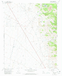
1968 Map of Cerbat
USGS Topo · Published 1980About this map
Cerbat Mountains gold and silver mining history is etched into the landscape of this late-1960s survey. The area is defined by the sharp transition from the arid expanse of the Sacramento Valley to the mineral-rich peaks of the eastern range. Industry dominates the upper elevations, where a complex network of an Aqueduct and an Aboveground Pipeline serves the operations near Mineral Park.
Find a feature on this map
43 named features on this map. Tap any name to fly to it.
Don’t see what you’re looking for? This feature index may not catch every label — zoom into the map to look around manually.
Map Details
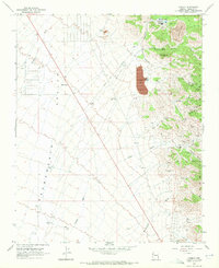
Editions of this 1968 Cerbat Map
2 editions found
Other maps of this area

1886 · Camp Mohave
USGS Topo · 1:250,000

1892 · Camp Mohave
USGS Topo · 1:250,000

1939 · Chloride
USGS Topo · 1:48,000

1942 · Camp Mohave
USGS Topo · 1:250,000

1944 · Chloride
USGS Topo · 1:62,500

1947 · Kingman
USGS Topo · 1:250,000

1948 · Kingman
USGS Topo · 1:250,000

1954 · Kingman
USGS Topo · 1:250,000

1955 · Kingman
USGS Topo · 1:250,000

1958 · Kingman
USGS Topo · 1:250,000