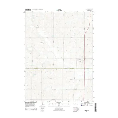
2014 Map of Ceresco
USGS Topo · Published 2014About this map
Ceresco sits at the convergence of several local drainages along the Saunders and Lancaster County line, serving as a hub for the surrounding agricultural prairie. The landscape is defined by the winding paths of Rock Creek and its tributaries, such as North Fork Rock Creek and Little Rock Creek, which feed into numerous private and municipal impoundments like Palm Reservoir and Edgar Reservoir.
Find a feature on this map
40 named features on this map. Tap any name to fly to it.
Don’t see what you’re looking for? This feature index may not catch every label — zoom into the map to look around manually.
Map Details
Editions of this 2014 Ceresco Map
This is the sole edition of this map. No revisions or reprints were ever made.
Other maps of this area

1897 · Lincoln
USGS Topo · 1:125,000

1899 · Wahoo
USGS Topo · 1:125,000

1955 · Fremont
USGS Topo · 1:250,000

1955 · Lincoln
USGS Topo · 1:250,000

1957 · Fremont
USGS Topo · 1:250,000

1957 · Lincoln
USGS Topo · 1:250,000

1958 · Fremont
USGS Topo · 1:250,000

1958 · Lincoln
USGS Topo · 1:250,000

1964 · Waverly
USGS Topo · 1:24,000

1964 · Davey
USGS Topo · 1:24,000