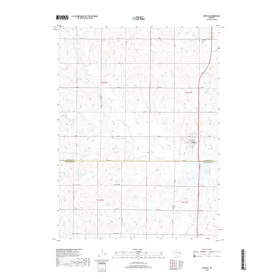
2017 Map of Ceresco
USGS Topo · Published 2017About this map
Ceresco sits at the intersection of local routes and natural drainages on the border of Saunders and Lancaster counties. This 2017 survey shows a landscape defined by its agricultural grid and the various reservoirs that dot the terrain, including Palm Reservoir, Edgar Reservoir, and Marshalek Reservoir. The town's grid is preserved in detail with streets like Main St and Elm St clearly marked.
Find a feature on this map
34 named features on this map. Tap any name to fly to it.
Don’t see what you’re looking for? This feature index may not catch every label — zoom into the map to look around manually.
Map Details
Editions of this 2017 Ceresco Map
This is the sole edition of this map. No revisions or reprints were ever made.
Other maps of this area

1897 · Lincoln
USGS Topo · 1:125,000

1899 · Wahoo
USGS Topo · 1:125,000

1955 · Fremont
USGS Topo · 1:250,000

1955 · Lincoln
USGS Topo · 1:250,000

1957 · Fremont
USGS Topo · 1:250,000

1957 · Lincoln
USGS Topo · 1:250,000

1958 · Fremont
USGS Topo · 1:250,000

1958 · Lincoln
USGS Topo · 1:250,000

1964 · Waverly
USGS Topo · 1:24,000

1964 · Davey
USGS Topo · 1:24,000