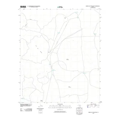
2010 Map of Cerro Alto Mountain
USGS Topo · Published 2010About this map
Helm Cemetery sits at a junction of desert tracks near the base of Cerro Alto Mountain, serving as a solitary human landmark in this high-desert landscape of El Paso County. The terrain is defined by isolated peaks and ridges, including Naville Mountain, Deer Mountain, and Alacran Mountain, which rise above the surrounding flats. The absence of perennial streams is reflected in the numerous water catchments scattered across the range, such as Lincoln Tank, Dugout Tank, and New Tank.
Find a feature on this map
17 named features on this map. Tap any name to fly to it.
Don’t see what you’re looking for? This feature index may not catch every label — zoom into the map to look around manually.
Map Details
Editions of this 2010 Cerro Alto Mountain Map
This is the sole edition of this map. No revisions or reprints were ever made.
Other maps of this area

1896 · El Paso
USGS Topo · 1:125,000

1903 · Cerro Alto
USGS Topo · 1:125,000

1908 · El Paso
USGS Topo · 1:125,000

1939 · Heuco Tanks
USGS Topo · 1:62,500

1940 · Heuco Tanks
USGS Topo · 1:62,500

1940 · Bassett Lake
USGS Topo · 1:62,500

1941 · Heuco Mountains
USGS Topo · 1:62,500

1941 · Desert
USGS Topo · 1:62,500

1943 · Desert
USGS Topo · 1:62,500

1943 · Heuco Mountains
USGS Topo · 1:62,500