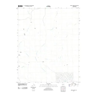
2010 Map of Cerro Conejo
USGS Topo · Published 2010About this map
Tenorio Ranch sits amidst a high desert landscape marked by complex drainage systems and mineral exploration northwest of Rio Rancho. The terrain is defined by dramatic volcanic features including Cerro Conejo, Cerrito Picacho, and Cerrito Redondo, which rise above a network of seasonal washes such as Arroyo Piedra Parada and the Arroyo de los Montoyas. This 2010 survey highlights a history of prospecting in Sandoval County, recording the San Ysidro Mine, Chavez Mine, and several named prospects like the Marez Prospect and Garcia Prospect. While much of the land remains open, the arrival of modern infrastructure is evident in the residential grid emerging at the southeastern corner, where streets like Waynesboro Rd and McCone Loop near Laguna de Baca indicate the expanding footprint of the Albuquerque metropolitan area.
Find a feature on this map
25 named features on this map. Tap any name to fly to it.
Don’t see what you’re looking for? This feature index may not catch every label — zoom into the map to look around manually.
Map Details
Editions of this 2010 Cerro Conejo Map
This is the sole edition of this map. No revisions or reprints were ever made.
Other maps of this area

1888 · Bernalillo
USGS Topo · 1:125,000

1889 · Albuquerque
USGS Topo · 1:125,000

1890 · Jemes
USGS Topo · 1:125,000

1892 · Jemes
USGS Topo · 1:125,000

1893 · Albuquerque
USGS Topo · 1:125,000

1939 · San Ysidro
USGS Topo · 1:62,500

1943 · San Ysidro
USGS Topo · 1:62,500

1943 · Jemez
USGS Topo · 1:62,500

1952 · Jemez
USGS Topo · 1:62,500

1953 · Bernalillo NW
USGS Topo · 1:24,000