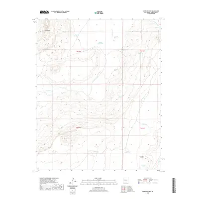
2020 Map of Cerro Del Oro
USGS Topo · Published 2020About this map
Cerro del Oro and the adjacent Mesa del Oro dominate this landscape, which defines the high-desert character of Cibola County. The terrain is deeply incised by drainages such as Arroyo Colorado and Cañon Palo Blanco, revealing a surface where water management is essential for land use. The distribution of numerous water catchments, including Horse Pasture Tank, Big Pasture Tank, and the uniquely named Lake Erie, suggests a history of livestock grazing and ranching operations. Sparse but critical water sources like Salado Spring and Theodore Spring are scattered throughout the quadrangle, serving as focal points in an otherwise arid environment. Along the southern reaches, the Cañon Villa de Aseyna and Bill Aseyna Tank preserve local family names within the geographical record of this New Mexico territory.
Find a feature on this map
29 named features on this map. Tap any name to fly to it.
Don’t see what you’re looking for? This feature index may not catch every label — zoom into the map to look around manually.
Map Details
Editions of this 2020 Cerro Del Oro Map
This is the sole edition of this map. No revisions or reprints were ever made.
Other maps of this area

1917 · Cerro Verde
USGS Topo · 1:125,000

1917 · Broom Mountain
USGS Topo · 1:125,000

1954 · Socorro
USGS Topo · 1:250,000

1958 · Socorro
USGS Topo · 1:250,000

1960 · Cerro Verde
USGS Topo · 1:24,000

1961 · Marmon Ranch
USGS Topo · 1:24,000
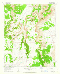
1961 · East Mesa
USGS Topo · 1:24,000

1962 · Socorro
USGS Topo · 1:250,000

1964 · Field Ranch
USGS Topo · 1:24,000
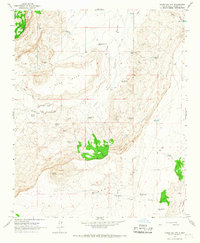
1964 · Cerro Del Oro
USGS Topo · 1:24,000